Newbridge night lights from space
Night Light of Newbridge (Wales) from space (United Kingdom) Src. Average luminocity for 10x10km area is 24.5714% and for 50x50km: 17.7497%.
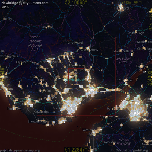
Analysis of Newbridge night lights 2016
Square area 10x10 km:
 1.26%
1.26%90-99
1.82%80-89
2.1%70-79
5.04%60-69
3.22%50-59
4.76%40-49
2.52%30-39
1.4%20-29
10.5%10-19
40.48%0-9
26.89%Square area 50x50 km:
2.83%90-99
3.51%80-89
1.31%70-79
1.88%60-69
1.74%50-59
1.94%40-49
2.28%30-39
3%20-29
6.39%10-19
13.9%0-9
61.24%Clear (daylight) street map image can be seen on geolist.org.
Map coordinates:
52° 6' 2.4" North, 3° 50' 11.3" West
51° 40' 0" North, 3° 7' 60" West
51° 13' 42.5" North, 2° 25' 48.8" West
Some cities around Newbridge sort by population:
• Pontypool
7.2 km =4.5 mi,  57°
57°
• Risca
6.9 km =4.3 mi,  161°
161°
• Blackwood
5.1 km =3.2 mi,  271°
271°
• Bargoed
7.1 km =4.4 mi,  285°
285°
• Abertillery
7 km =4.3 mi,  359°
359°
• Abercarn
2.2 km =1.4 mi,  182°
182°
• Crumlin
1.2 km =0.7 mi,  353°
353°
• Hengoed
7 km =4.3 mi,  255°
255°
2641700 (p: 6,509)
Sources (retrieved 2019-11-25):
» Earth at Night: Flat Maps 2012, 2016