Newry night lights from space
Night Light of Newry (Northern Ireland) from space (United Kingdom) Src. Average luminocity for 10x10km area is 20.8914% and for 50x50km: 3.5589%.
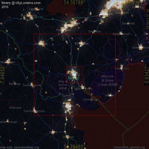
Analysis of Newry night lights 2016
Square area 10x10 km:
 3.03%
3.03%90-99
2.15%80-89
1.77%70-79
3.16%60-69
4.92%50-59
2.65%40-49
2.4%30-39
2.02%20-29
0.63%10-19
22.35%0-9
54.92%Square area 50x50 km:
0.44%90-99
0.41%80-89
0.2%70-79
0.52%60-69
0.6%50-59
0.6%40-49
0.44%30-39
0.44%20-29
0.45%10-19
2.56%0-9
93.34%Clear (daylight) street map image can be seen on geolist.org.
Map coordinates:
54° 35' 16.4" North, 7° 2' 25.9" West
54° 10' 42.3" North, 6° 20' 14.6" West
53° 45' 53.5" North, 5° 38' 3.4" West
Some cities around Newry sort by population:
• Craigavon
30 km =18.6 mi,  353°
353°
• Dundalk, IE
20.5 km =12.7 mi,  194°
194°
• Portadown
28.1 km =17.5 mi, 345°
• Banbridge
19.4 km =12.1 mi,  10°
10°
• Armagh
28.7 km =17.8 mi,  311°
311°
• Warrenpoint
10 km =6.2 mi,  148°
148°
• Newcastle
29.4 km =18.3 mi,  81°
81°
• Kilkeel
25.3 km =15.7 mi,  120°
120°
2641581 (p: 27,757)
Sources (retrieved 2019-11-25):
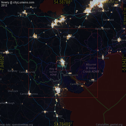
» Earth at Night: Flat Maps 2012, 2016