Dundalk night lights from space
Night Light of Dundalk (Leinster) from space (Ireland) Src. Average luminocity for 10x10km area is 25.3523% and for 50x50km: 3.0369%.
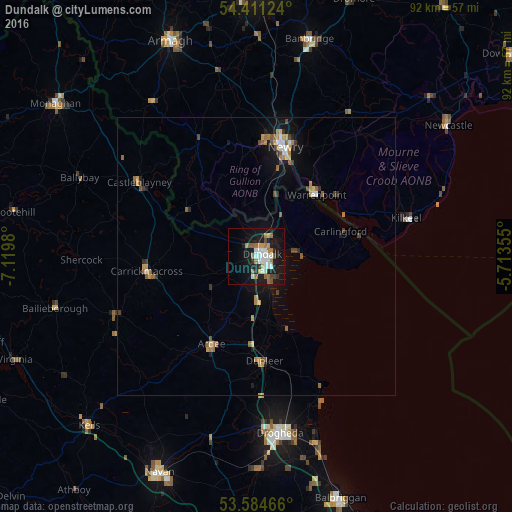
Analysis of Dundalk night lights 2016
Square area 10x10 km:
 5.05%
5.05%90-99
4.67%80-89
0.38%70-79
3.54%60-69
5.43%50-59
2.78%40-49
1.89%30-39
1.01%20-29
3.66%10-19
29.42%0-9
42.17%Square area 50x50 km:
0.36%90-99
0.3%80-89
0.14%70-79
0.58%60-69
0.62%50-59
0.51%40-49
0.3%30-39
0.37%20-29
0.32%10-19
2.43%0-9
94.07%Clear (daylight) street map image can be seen on geolist.org.
Map coordinates:
54° 24' 40.5" North, 7° 7' 11.3" West
54° 0' 0" North, 6° 25' 0" West
53° 35' 4.8" North, 5° 42' 48.8" West
Some cities around Dundalk sort by population:
• Drogheda
31.6 km =19.6 mi,  171°
171°
• Newry, GB
20.5 km =12.7 mi,  14°
14°
• Banbridge, GB
39.9 km =24.8 mi, 12°
• Armagh, GB
42.2 km =26.2 mi,  337°
337°
• Laytown
37.2 km =23.1 mi,  161°
161°
• Warrenpoint, GB
15.3 km =9.5 mi,  42°
42°
• Newcastle, GB
42 km =26.1 mi,  54°
54°
• Kilkeel, GB
27.9 km =17.3 mi,  75°
75°
2964540 (p: 33,428)
Sources (retrieved 2019-11-25):
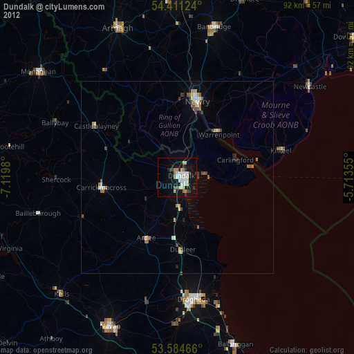
» Earth at Night: Flat Maps 2012, 2016