Armagh night lights from space
Night Light of Armagh (Northern Ireland) from space (United Kingdom) Src. Average luminocity for 10x10km area is 10.2068% and for 50x50km: 4.2935%.
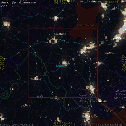
Analysis of Armagh night lights 2016
Square area 10x10 km:
 0.88%
0.88%90-99
1.13%80-89
1%70-79
2.51%60-69
1%50-59
2.51%40-49
0.63%30-39
1.88%20-29
0.5%10-19
1.13%0-9
86.84%Square area 50x50 km:
0.4%90-99
0.43%80-89
0.38%70-79
0.59%60-69
0.8%50-59
0.77%40-49
0.62%30-39
0.55%20-29
0.63%10-19
3.17%0-9
91.65%Clear (daylight) street map image can be seen on geolist.org.
Map coordinates:
54° 45' 27.9" North, 7° 22' 11.3" West
54° 21' 0" North, 6° 40' 0" West
53° 56' 17.3" North, 5° 57' 48.8" West
Some cities around Armagh sort by population:
• Craigavon
21.1 km =13.1 mi,  59°
59°
• Newry
28.7 km =17.8 mi,  131°
131°
• Portadown
16.5 km =10.3 mi, 60°
• Banbridge
24.8 km =15.4 mi,  90°
90°
• Dungannon
18.3 km =11.4 mi,  339°
339°
• Cookstown
33 km =20.5 mi,  351°
351°
• Monaghan, IE
22.4 km =13.9 mi,  240°
240°
• Coalisland
21.4 km =13.3 mi, 353°
2657060 (p: 14,801)
Sources (retrieved 2019-11-25):
» Earth at Night: Flat Maps 2012, 2016