Kilkeel night lights from space
Night Light of Kilkeel (Northern Ireland) from space (United Kingdom) Src. Average luminocity for 10x10km area is 2.2336% and for 50x50km: 1.8189%.
Analysis of Kilkeel night lights 2016
Square area 10x10 km:
 0.63%
0.63%90-99
0.38%80-89
0%70-79
0%60-69
0%50-59
0.51%40-49
0.51%30-39
0%20-29
1.52%10-19
1.01%0-9
95.45%Square area 50x50 km:
0.2%90-99
0.18%80-89
0.09%70-79
0.24%60-69
0.36%50-59
0.32%40-49
0.31%30-39
0.25%20-29
0.27%10-19
1.42%0-9
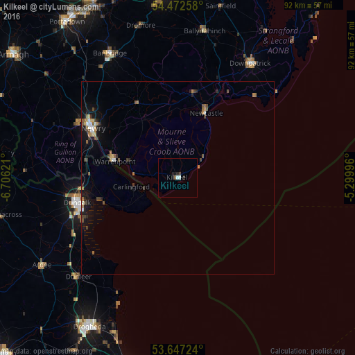
96.37%Clear (daylight) street map image can be seen on geolist.org.
Map coordinates:
54° 28' 21.3" North, 6° 42' 22.4" West
54° 3' 43.1" North, 6° 0' 11.1" West
53° 38' 50.1" North, 5° 17' 59.9" West
Some cities around Kilkeel sort by population:
• Drogheda, IE
44.3 km =27.5 mi,  210°
210°
• Dundalk, IE
27.9 km =17.3 mi,  255°
255°
• Newry
25.3 km =15.7 mi,  300°
300°
• Banbridge
36.8 km =22.9 mi,  330°
330°
• Downpatrick
35 km =21.7 mi,  32°
32°
• Warrenpoint
17.2 km =10.7 mi,  284°
284°
• Newcastle
18.9 km =11.7 mi,  23°
23°
• Ballynahinch
38.5 km =23.9 mi,  10°
10°
2645660 (p: 6,447)
Sources (retrieved 2019-11-25):
» Earth at Night: Flat Maps 2012, 2016