Craigavon night lights from space
Night Light of Craigavon (Northern Ireland) from space (United Kingdom) Src. Average luminocity for 10x10km area is 34.5718% and for 50x50km: 5.859%.
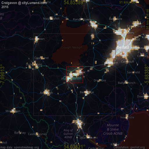

Analysis of Craigavon night lights 2016
Square area 10x10 km:
 5.14%
5.14%90-99
6.34%80-89
4.31%70-79
4.78%60-69
5.02%50-59
3.95%40-49
4.67%30-39
2.27%20-29
4.55%10-19
41.99%0-9
16.99%Square area 50x50 km:
0.67%90-99
0.89%80-89
0.45%70-79
0.68%60-69
0.8%50-59
0.95%40-49
0.81%30-39
0.83%20-29
1.44%10-19
4.14%0-9
88.33%Clear (daylight) street map image can be seen on geolist.org.
Map coordinates:
54° 51' 14" North, 7° 5' 24.5" West
54° 26' 49.5" North, 6° 23' 13.2" West
54° 2' 10.4" North, 5° 41' 2" West
Some cities around Craigavon sort by population:
• Lisburn
24.3 km =15.1 mi,  69°
69°
• Newry
30 km =18.6 mi,  173°
173°
• Portadown
4.6 km =2.9 mi,  234°
234°
• Banbridge
12.7 km =7.9 mi,  148°
148°
• Armagh
21.1 km =13.1 mi,  239°
239°
• Dungannon
25.4 km =15.8 mi,  284°
284°
• Coalisland
22.9 km =14.2 mi,  297°
297°
• Crumlin
22.3 km =13.9 mi,  30°
30°
3345440 (p: 59,236)
Sources (retrieved 2019-11-25):
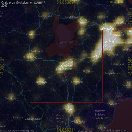
» NASA, Earths city lights 1995
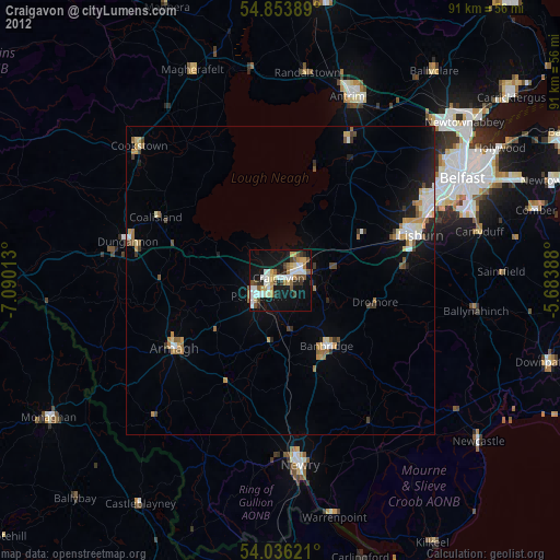
» NASA city lights 2003
» Earth at Night: Flat Maps 2012, 2016