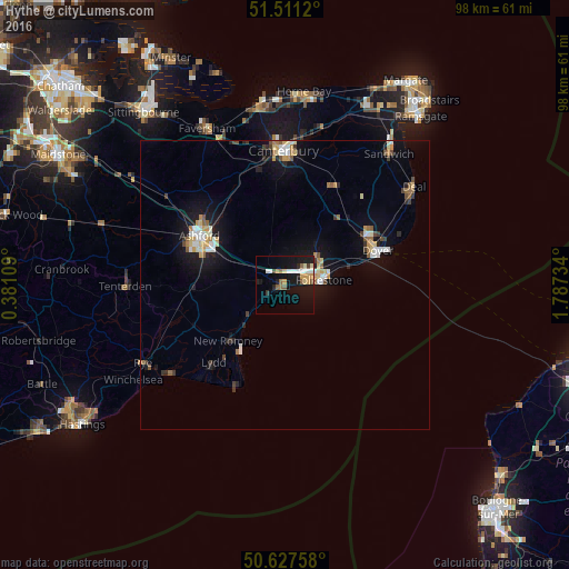
Hythe night lights from space
Night Light of Hythe (England) from space (United Kingdom) Src. Average luminocity for 10x10km area is 18.2139% and for 50x50km: 4.7866%.
Analysis of Hythe night lights 2016
Square area 10x10 km:
 2.94%
2.94%90-99
2.94%80-89
2.01%70-79
2.94%60-69
0.8%50-59
3.88%40-49
0.27%30-39
1.34%20-29
1.74%10-19
21.39%0-9
59.76%Square area 50x50 km:
0.61%90-99
0.8%80-89
0.57%70-79
0.61%60-69
0.44%50-59
0.57%40-49
0.37%30-39
0.54%20-29
0.65%10-19
4.17%0-9
90.68%Clear (daylight) street map image can be seen on geolist.org.
Map coordinates:
51° 30' 40.3" North, 0° 22' 51.9" East
51° 4' 17.4" North, 1° 5' 3.2" East
50° 37' 39.3" North, 1° 47' 14.4" East
Some cities around Hythe sort by population:
• Folkestone
5.9 km =3.7 mi,  78°
78°
• Ashford
16.9 km =10.5 mi,  299°
299°
• Canterbury
23.1 km =14.4 mi,  359°
359°
• Dover
17.1 km =10.6 mi,  69°
69°
• New Romney
13.8 km =8.6 mi,  226°
226°
• Hawkinge
7.1 km =4.4 mi,  49°
49°
• Sturry
25.7 km =16 mi,  5°
5°
• Tenterden
27.7 km =17.2 mi,  269°
269°
2646316 (p: 14,170)
Sources (retrieved 2019-11-25):
» Earth at Night: Flat Maps 2012, 2016