Gelligaer night lights from space
Night Light of Gelligaer (Wales) from space (United Kingdom) Src. Average luminocity for 10x10km area is 32.0532% and for 50x50km: 18.5507%.
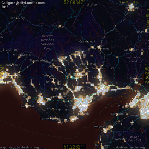
Analysis of Gelligaer night lights 2016
Square area 10x10 km:
 1.96%
1.96%90-99
5.18%80-89
3.5%70-79
5.74%60-69
5.88%50-59
2.94%40-49
3.08%30-39
5.6%20-29
15.41%10-19
32.63%0-9
18.07%Square area 50x50 km:
2.98%90-99
3.63%80-89
1.45%70-79
2.02%60-69
1.85%50-59
1.87%40-49
2.38%30-39
3.1%20-29
6.59%10-19
15.44%0-9
58.69%Clear (daylight) street map image can be seen on geolist.org.
Map coordinates:
52° 5' 54.5" North, 3° 57' 33.3" West
51° 39' 52" North, 3° 15' 22" West
51° 13' 34.4" North, 2° 33' 10.8" West
Some cities around Gelligaer sort by population:
• Blackwood
3.4 km =2.1 mi,  83°
83°
• Bargoed
2.6 km =1.6 mi,  36°
36°
• Nelson
2.3 km =1.4 mi,  237°
237°
• Treharris
3.5 km =2.2 mi,  270°
270°
• Abertridwr
7.7 km =4.8 mi,  186°
186°
• Abercynon
5.3 km =3.3 mi,  246°
246°
• Crumlin
8.5 km =5.3 mi, 79°
• Hengoed
2.3 km =1.4 mi,  131°
131°
2648728 (p: 17,376)
Sources (retrieved 2019-11-25):
» Earth at Night: Flat Maps 2012, 2016