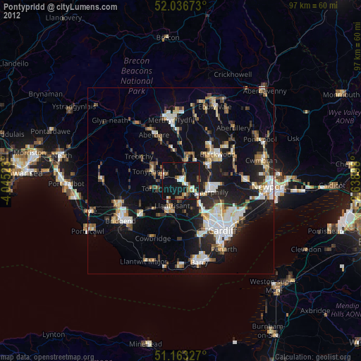
Pontypridd night lights from space
Night Light of Pontypridd (Wales) from space (United Kingdom) Src. Average luminocity for 10x10km area is 22.9024% and for 50x50km: 19.1082%.
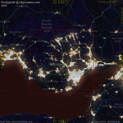
Analysis of Pontypridd night lights 2016
Square area 10x10 km:
 1.6%
1.6%90-99
2.94%80-89
1.47%70-79
3.21%60-69
1.34%50-59
3.21%40-49
4.28%30-39
4.14%20-29
7.49%10-19
37.97%0-9
32.35%Square area 50x50 km:
2.91%90-99
3.55%80-89
1.51%70-79
2.06%60-69
2.1%50-59
2.14%40-49
2.39%30-39
3.16%20-29
6.78%10-19
15.78%0-9
57.63%Clear (daylight) street map image can be seen on geolist.org.
Map coordinates:
52° 2' 12.2" North, 4° 2' 42.8" West
51° 36' 7.6" North, 3° 20' 31.6" West
51° 9' 47.8" North, 2° 38' 20.3" West
Some cities around Pontypridd sort by population:
• Tonypandy
8.1 km =5 mi,  285°
285°
• Llantrisant
7.2 km =4.5 mi,  197°
197°
• Nelson
6.9 km =4.3 mi,  34°
34°
• Treharris
7.4 km =4.6 mi,  19°
19°
• Tonyrefail
6.4 km =4 mi,  251°
251°
• Beddau
5.5 km =3.4 mi,  191°
191°
• Abertridwr
5.1 km =3.2 mi,  97°
97°
• Abercynon
4.9 km =3 mi,  11°
11°
2640104 (p: 30,420)
Sources (retrieved 2019-11-25):
» Earth at Night: Flat Maps 2012, 2016