Maesteg night lights from space
Night Light of Maesteg (Wales) from space (United Kingdom) Src. Average luminocity for 10x10km area is 7.9131% and for 50x50km: 11.3815%.
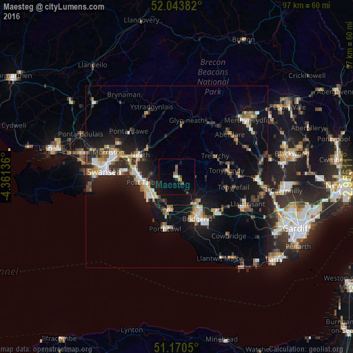
Analysis of Maesteg night lights 2016
Square area 10x10 km:
 0.13%
0.13%90-99
0.67%80-89
0.53%70-79
0.94%60-69
0.8%50-59
1.74%40-49
1.47%30-39
0.67%20-29
0.67%10-19
4.95%0-9
87.43%Square area 50x50 km:
1.24%90-99
1.67%80-89
0.89%70-79
1.39%60-69
1.58%50-59
1.35%40-49
1.53%30-39
1.75%20-29
3.36%10-19
11.06%0-9
74.19%Clear (daylight) street map image can be seen on geolist.org.
Map coordinates:
52° 2' 37.8" North, 4° 21' 40.9" West
51° 36' 33.3" North, 3° 39' 29.6" West
51° 10' 13.8" North, 2° 57' 18.4" West
Some cities around Maesteg sort by population:
• Neath
11.7 km =7.3 mi,  300°
300°
• Coity
12 km =7.5 mi,  143°
143°
• Briton Ferry
11.4 km =7.1 mi,  282°
282°
• Pyle
10.7 km =6.6 mi,  195°
195°
• Aberkenfig
8.8 km =5.5 mi,  150°
150°
• Treorchy
11.9 km =7.4 mi,  61°
61°
• Pentre
12.6 km =7.8 mi,  66°
66°
• Cwmafan
7.2 km =4.5 mi, 276°
2643218 (p: 21,001)
Sources (retrieved 2019-11-25):
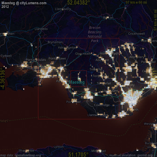
» Earth at Night: Flat Maps 2012, 2016