Droylsden night lights from space
Night Light of Droylsden (England) from space (United Kingdom) Src. Average luminocity for 10x10km area is 94.2222% and for 50x50km: 37.127%.
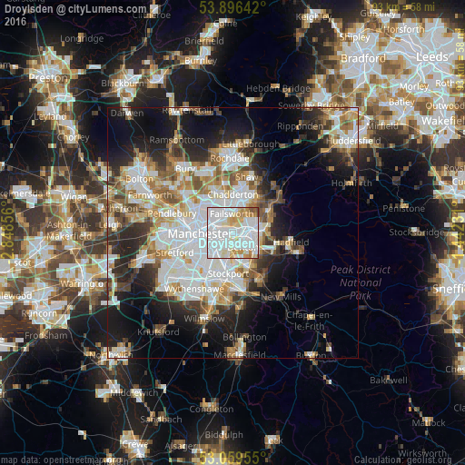
Analysis of Droylsden night lights 2016
Square area 10x10 km:
 53.17%
90-99
25.66%80-89
8.6%70-79
7.54%60-69
2.91%50-59
1.85%40-49
0.26%30-39
0%20-29
0%10-19
0%0-9
0%Square area 50x50 km:
10.64%90-99
8.23%80-89
3.67%70-79
3.85%60-69
4.48%50-59
4.12%40-49
3.74%30-39
4.13%20-29
7.42%10-19
12.29%0-9
37.44%Clear (daylight) street map image can be seen on geolist.org.
Map coordinates:
53° 53' 47.1" North, 2° 50' 54.8" West
53° 28' 48.2" North, 2° 8' 43.5" West
53° 3' 34.4" North, 1° 26' 32.3" West
Some cities around Droylsden sort by population:
• Ashton-under-Lyne
3.2 km =2 mi,  72°
72°
• Hyde
5.4 km =3.4 mi,  126°
126°
• Denton
3.2 km =2 mi,  145°
145°
• Stalybridge
5.7 km =3.5 mi,  85°
85°
• Failsworth
3.1 km =1.9 mi,  334°
334°
• Dukinfield
3.8 km =2.4 mi,  98°
98°
• Longsight
4.4 km =2.7 mi,  236°
236°
• Haughton Green
5.3 km =3.3 mi,  144°
144°
2650962 (p: 23,689)
Sources (retrieved 2019-11-25):
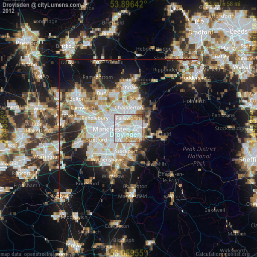
» Earth at Night: Flat Maps 2012, 2016