Stalybridge night lights from space
Night Light of Stalybridge (England) from space (United Kingdom) Src. Average luminocity for 10x10km area is 67.6997% and for 50x50km: 34.5364%.
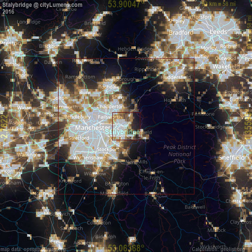
Analysis of Stalybridge night lights 2016
Square area 10x10 km:
 20.5%
20.5%90-99
19.31%80-89
7.14%70-79
6.75%60-69
7.14%50-59
8.6%40-49
6.22%30-39
5.42%20-29
7.54%10-19
10.45%0-9
0.93%Square area 50x50 km:
10.27%90-99
7.77%80-89
3.39%70-79
3.56%60-69
4.29%50-59
3.86%40-49
3.26%30-39
3.55%20-29
5.94%10-19
10.31%0-9
43.78%Clear (daylight) street map image can be seen on geolist.org.
Map coordinates:
53° 54' 1.7" North, 2° 45' 43.9" West
53° 29' 2.9" North, 2° 3' 32.7" West
53° 3' 49.2" North, 1° 21' 21.4" West
Some cities around Stalybridge sort by population:
• Ashton-under-Lyne
2.7 km =1.7 mi,  281°
281°
• Hyde
3.9 km =2.4 mi,  200°
200°
• Denton
5 km =3.1 mi,  232°
232°
• Droylsden
5.7 km =3.5 mi,  265°
265°
• Dukinfield
2.2 km =1.4 mi,  242°
242°
• Mossley
3.7 km =2.3 mi,  25°
25°
• Haughton Green
5.4 km =3.4 mi,  208°
208°
• Longdendale
4.4 km =2.7 mi,  116°
116°
2637106 (p: 22,748)
Sources (retrieved 2019-11-25):
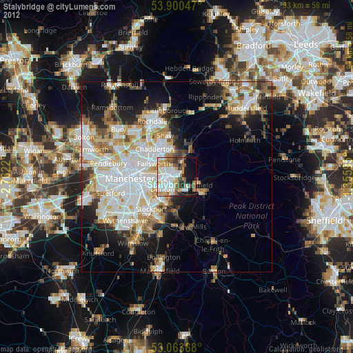
» Earth at Night: Flat Maps 2012, 2016