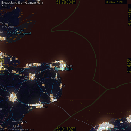
Broadstairs night lights from space
Night Light of Broadstairs (England) from space (United Kingdom) Src. Average luminocity for 10x10km area is 31.0966% and for 50x50km: 3.8044%.

Analysis of Broadstairs night lights 2016
Square area 10x10 km:
 3.78%
3.78%90-99
6.3%80-89
5.32%70-79
6.86%60-69
3.5%50-59
4.34%40-49
2.94%30-39
1.96%20-29
4.9%10-19
19.75%0-9
40.34%Square area 50x50 km:
0.3%90-99
0.48%80-89
0.41%70-79
0.59%60-69
0.55%50-59
0.51%40-49
0.52%30-39
0.44%20-29
0.68%10-19
3.79%0-9
91.74%Clear (daylight) street map image can be seen on geolist.org.
Map coordinates:
51° 47' 45.7" North, 0° 44' 10.5" East
51° 21' 32.7" North, 1° 26' 21.8" East
50° 55' 4.5" North, 2° 8' 33" East
Some cities around Broadstairs sort by population:
• Saint Peters
1.8 km =1.1 mi,  298°
298°
• Margate
4.4 km =2.7 mi, 303°
• Ramsgate
3 km =1.9 mi,  209°
209°
• Herne Bay
21.6 km =13.4 mi,  274°
274°
• Deal
15.3 km =9.5 mi,  189°
189°
• Birchington-on-Sea
9.5 km =5.9 mi,  281°
281°
• Sturry
23 km =14.3 mi,  253°
253°
• Westgate on Sea
7.6 km =4.7 mi,  289°
289°
2654635 (p: 23,283)
Sources (retrieved 2019-11-25):
» Earth at Night: Flat Maps 2012, 2016