Lancaster night lights from space
Night Light of Lancaster (England) from space (United Kingdom) Src. Average luminocity for 10x10km area is 26.9596% and for 50x50km: 4.7584%.
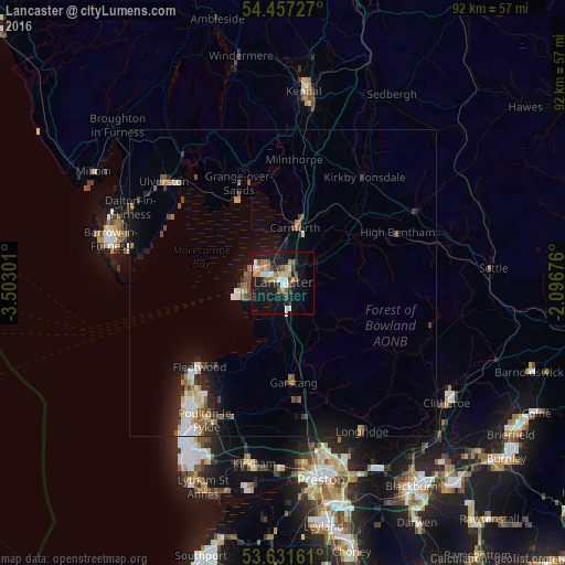
Analysis of Lancaster night lights 2016
Square area 10x10 km:
 3.54%
3.54%90-99
4.04%80-89
2.9%70-79
3.16%60-69
4.17%50-59
4.29%40-49
3.28%30-39
1.89%20-29
5.05%10-19
34.34%0-9
33.33%Square area 50x50 km:
0.57%90-99
0.76%80-89
0.35%70-79
0.56%60-69
0.57%50-59
0.77%40-49
0.71%30-39
0.46%20-29
1.23%10-19
4.09%0-9
89.91%Clear (daylight) street map image can be seen on geolist.org.
Map coordinates:
54° 27' 26.2" North, 3° 30' 10.8" West
54° 2' 47.4" North, 2° 47' 59.6" West
53° 37' 53.8" North, 2° 5' 48.3" West
Some cities around Lancaster sort by population:
• Morecambe
4.7 km =2.9 mi,  301°
301°
• Thornton-Cleveleys
24.1 km =15 mi,  217°
217°
• Fleetwood
19.3 km =12 mi,  225°
225°
• Heysham
6.1 km =3.8 mi,  267°
267°
• Garstang
16.3 km =10.1 mi,  174°
174°
• Carnforth
9.7 km =6 mi,  11°
11°
• Bolton le Sands
5.5 km =3.4 mi,  359°
359°
• Preesall
17.9 km =11.1 mi, 217°
2644972 (p: 47,162)
Sources (retrieved 2019-11-25):
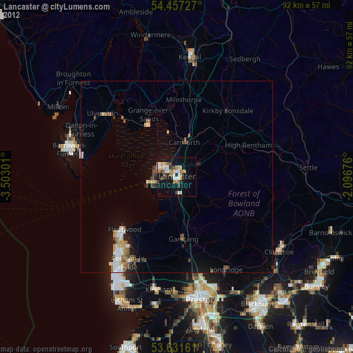
» Earth at Night: Flat Maps 2012, 2016