Morecambe night lights from space
Night Light of Morecambe (England) from space (United Kingdom) Src. Average luminocity for 10x10km area is 29.7576% and for 50x50km: 4.7803%.
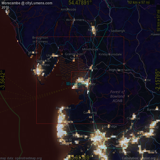

Analysis of Morecambe night lights 2016
Square area 10x10 km:
 4.29%
4.29%90-99
4.55%80-89
2.27%70-79
3.91%60-69
5.3%50-59
5.56%40-49
4.17%30-39
1.52%20-29
5.3%10-19
32.83%0-9
30.3%Square area 50x50 km:
0.54%90-99
0.76%80-89
0.35%70-79
0.61%60-69
0.61%50-59
0.83%40-49
0.79%30-39
0.42%20-29
1.13%10-19
4.08%0-9
89.89%Clear (daylight) street map image can be seen on geolist.org.
Map coordinates:
54° 28' 44.1" North, 3° 33' 51.1" West
54° 4' 6.1" North, 2° 51' 39.9" West
53° 39' 13.3" North, 2° 9' 28.6" West
Some cities around Morecambe sort by population:
• Lancaster
4.7 km =2.9 mi,  121°
121°
• Fleetwood
18.7 km =11.6 mi,  211°
211°
• Heysham
3.5 km =2.2 mi,  217°
217°
• Ulverston
20.9 km =13 mi,  312°
312°
• Garstang
19.5 km =12.1 mi,  163°
163°
• Carnforth
9.2 km =5.7 mi,  40°
40°
• Bolton le Sands
5 km =3.1 mi,  51°
51°
• Preesall
18.1 km =11.2 mi,  202°
202°
2642214 (p: 51,644)
Sources (retrieved 2019-11-25):
» NASA, Earths city lights 1995
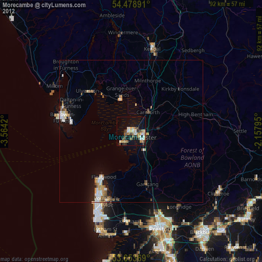
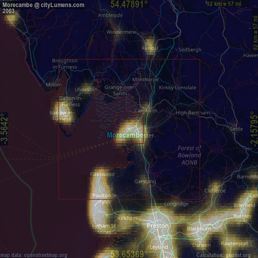
» NASA city lights 2003
» Earth at Night: Flat Maps 2012, 2016