Kirkcaldy night lights from space
Night Light of Kirkcaldy (Scotland) from space (United Kingdom) Src. Average luminocity for 10x10km area is 23.7955% and for 50x50km: 14.4528%.
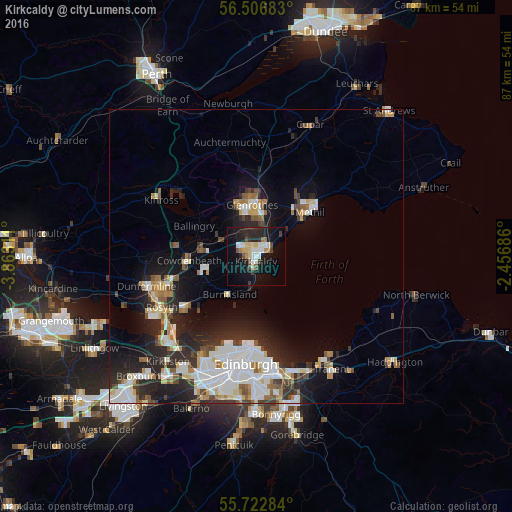
Analysis of Kirkcaldy night lights 2016
Square area 10x10 km:
 3.35%
3.35%90-99
4.78%80-89
3.35%70-79
1.32%60-69
2.03%50-59
0.96%40-49
3.71%30-39
1.32%20-29
9.33%10-19
27.03%0-9
42.82%Square area 50x50 km:
3.17%90-99
3.36%80-89
1.27%70-79
1.19%60-69
1.5%50-59
1.21%40-49
1.46%30-39
1.5%20-29
5.12%10-19
8.08%0-9
72.15%Clear (daylight) street map image can be seen on geolist.org.
Map coordinates:
56° 30' 24.6" North, 3° 51' 47.2" West
56° 7' 0.6" North, 3° 9' 36" West
55° 43' 22.2" North, 2° 27' 24.7" West
Some cities around Kirkcaldy sort by population:
• Glenrothes
8.7 km =5.4 mi,  354°
354°
• Cowdenbeath
11.4 km =7.1 mi,  267°
267°
• Methil
11.5 km =7.1 mi,  48°
48°
• Leven
13.6 km =8.5 mi, 46°
• Kelty
14.2 km =8.8 mi,  277°
277°
• Lochgelly
9.4 km =5.8 mi, 277°
• Burntisland
8 km =5 mi,  216°
216°
• Ballingry
11.7 km =7.3 mi,  296°
296°
2645298 (p: 49,460)
Sources (retrieved 2019-11-25):
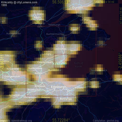
» NASA, Earths city lights 1995
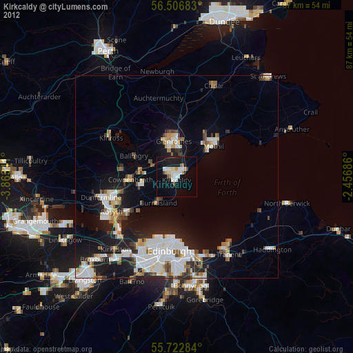
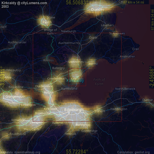
» NASA city lights 2003
» Earth at Night: Flat Maps 2012, 2016