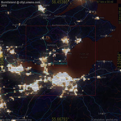
Burntisland night lights from space
Night Light of Burntisland (Scotland) from space (United Kingdom) Src. Average luminocity for 10x10km area is 9.7333% and for 50x50km: 18.2495%.
Analysis of Burntisland night lights 2016
Square area 10x10 km:
 1.2%
1.2%90-99
1.67%80-89
0.48%70-79
0.12%60-69
0.36%50-59
0.48%40-49
1.08%30-39
0.72%20-29
0.96%10-19
12.44%0-9
80.5%Square area 50x50 km:
3.84%90-99
4.15%80-89
1.67%70-79
1.43%60-69
1.79%50-59
1.59%40-49
1.69%30-39
2.17%20-29
7.38%10-19
11.39%0-9
62.91%Clear (daylight) street map image can be seen on geolist.org.
Map coordinates:
56° 27' 10.9" North, 3° 56' 5.6" West
56° 3' 31.1" North, 3° 14' 11.9" West
55° 40' 4.5" North, 2° 31' 43.1" West
Some cities around Burntisland sort by population:
• Edinburgh
12.1 km =7.5 mi,  168°
168°
• Kirkcaldy
8 km =5 mi,  36°
36°
• Cowdenbeath
8.9 km =5.5 mi,  311°
311°
• Dalgety Bay
7.5 km =4.7 mi,  249°
249°
• Queensferry
12.6 km =7.8 mi,  233°
233°
• Kelty
12.5 km =7.8 mi, 311°
• Lochgelly
9 km =5.6 mi,  329°
329°
• Inverkeithing
10.3 km =6.4 mi, 253°
2654255 (p: 6,370)
Sources (retrieved 2019-11-25):
» Earth at Night: Flat Maps 2012, 2016