Kilmarnock night lights from space
Night Light of Kilmarnock (Scotland) from space (United Kingdom) Src. Average luminocity for 10x10km area is 28.2694% and for 50x50km: 13.1165%.
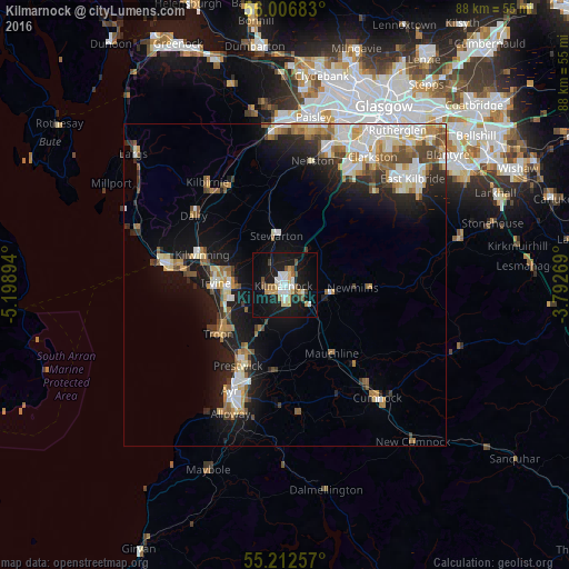
Analysis of Kilmarnock night lights 2016
Square area 10x10 km:
 5.51%
5.51%90-99
5.39%80-89
2.38%70-79
4.26%60-69
2.01%50-59
3.13%40-49
3.13%30-39
0.75%20-29
2.01%10-19
37.34%0-9
34.09%Square area 50x50 km:
2.25%90-99
2.7%80-89
1.37%70-79
1.54%60-69
1.64%50-59
1.69%40-49
1.58%30-39
1.31%20-29
2.69%10-19
9.04%0-9
74.19%Clear (daylight) street map image can be seen on geolist.org.
Map coordinates:
56° 0' 24.6" North, 5° 11' 56.2" West
55° 36' 42.2" North, 4° 29' 44.9" West
55° 12' 45.3" North, 3° 47' 33.7" West
Some cities around Kilmarnock sort by population:
• Irvine
10 km =6.2 mi,  274°
274°
• Kilwinning
14 km =8.7 mi,  289°
289°
• Prestwick
16.2 km =10.1 mi,  208°
208°
• Troon
13 km =8.1 mi,  234°
234°
• Stevenston
16.5 km =10.3 mi,  280°
280°
• Stewarton
7.7 km =4.8 mi,  351°
351°
• Beith
17.7 km =11 mi,  329°
329°
• Dalry
17.9 km =11.1 mi,  307°
307°
2645605 (p: 46,350)
Sources (retrieved 2019-11-25):
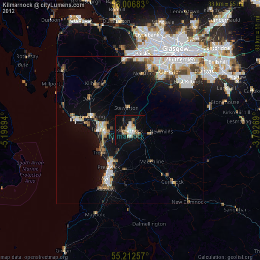
» Earth at Night: Flat Maps 2012, 2016