Stevenston night lights from space
Night Light of Stevenston (Scotland) from space (United Kingdom) Src. Average luminocity for 10x10km area is 22.5371% and for 50x50km: 8.7739%.
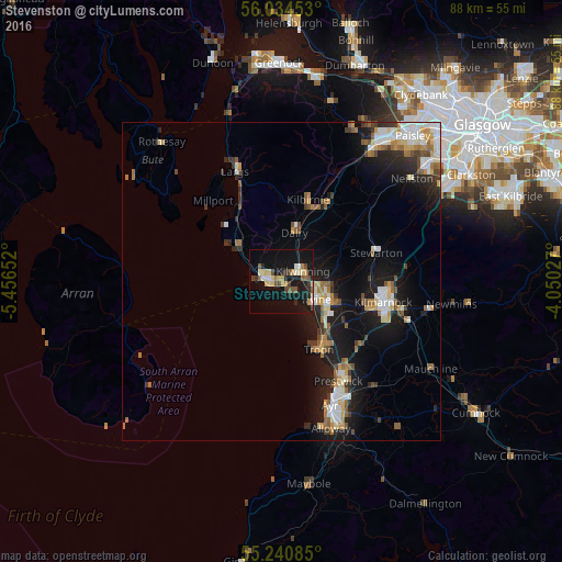
Analysis of Stevenston night lights 2016
Square area 10x10 km:
 1.56%
1.56%90-99
2.63%80-89
3.95%70-79
3.47%60-69
1.32%50-59
3.59%40-49
3.83%30-39
1.91%20-29
3.83%10-19
31.58%0-9
42.34%Square area 50x50 km:
1.28%90-99
1.53%80-89
0.82%70-79
1.15%60-69
1.13%50-59
1.2%40-49
0.91%30-39
1.1%20-29
1.85%10-19
7.7%0-9
81.32%Clear (daylight) street map image can be seen on geolist.org.
Map coordinates:
56° 2' 4.3" North, 5° 27' 23.5" West
55° 38' 22.9" North, 4° 45' 12.2" West
55° 14' 27.1" North, 4° 3' 1" West
Some cities around Stevenston sort by population:
• Irvine
6.6 km =4.1 mi,  110°
110°
• Kilwinning
3.3 km =2.1 mi,  62°
62°
• Troon
12.1 km =7.5 mi,  152°
152°
• Saltcoats
2.1 km =1.3 mi,  259°
259°
• Ardrossan
3.5 km =2.2 mi,  289°
289°
• Kilbirnie
13 km =8.1 mi,  18°
18°
• Beith
14.2 km =8.8 mi,  30°
30°
• Dalry
8 km =5 mi,  14°
14°
2636938 (p: 9,290)
Sources (retrieved 2019-11-25):
» Earth at Night: Flat Maps 2012, 2016