Irvine night lights from space
Night Light of Irvine (Scotland) from space (United Kingdom) Src. Average luminocity for 10x10km area is 30.3822% and for 50x50km: 10.121%.
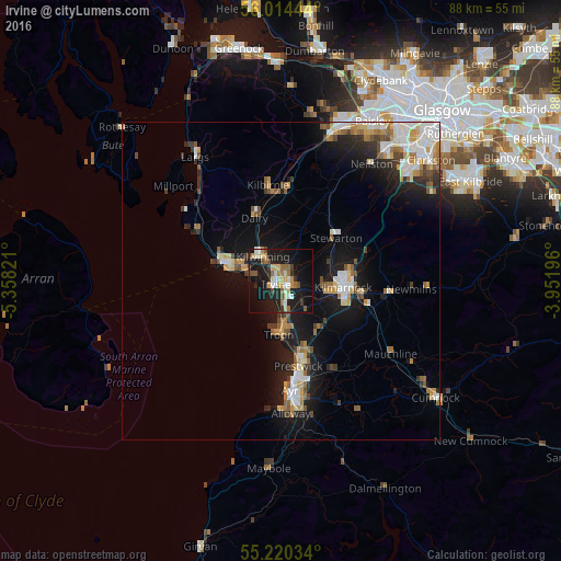
Analysis of Irvine night lights 2016
Square area 10x10 km:
 2.63%
2.63%90-99
4.89%80-89
5.51%70-79
3.01%60-69
4.51%50-59
4.39%40-49
2.88%30-39
2.63%20-29
7.14%10-19
39.6%0-9
22.81%Square area 50x50 km:
1.66%90-99
1.98%80-89
0.93%70-79
1.27%60-69
1.24%50-59
1.31%40-49
0.99%30-39
1.09%20-29
2.08%10-19
8.15%0-9
79.3%Clear (daylight) street map image can be seen on geolist.org.
Map coordinates:
56° 0' 52" North, 5° 21' 29.6" West
55° 37' 9.8" North, 4° 39' 18.3" West
55° 13' 13.2" North, 3° 57' 7.1" West
Some cities around Irvine sort by population:
• Kilmarnock
10 km =6.2 mi,  94°
94°
• Kilwinning
5 km =3.1 mi,  319°
319°
• Troon
8.4 km =5.2 mi,  183°
183°
• Saltcoats
8.4 km =5.2 mi,  282°
282°
• Ardrossan
10.1 km =6.3 mi,  289°
289°
• Stevenston
6.6 km =4.1 mi, 290°
• Stewarton
11.1 km =6.9 mi,  52°
52°
• Dalry
10.9 km =6.8 mi,  337°
337°
2646032 (p: 33,740)
Sources (retrieved 2019-11-25):
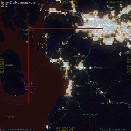
» Earth at Night: Flat Maps 2012, 2016