Kenilworth night lights from space
Night Light of Kenilworth (England) from space (United Kingdom) Src. Average luminocity for 10x10km area is 23.4937% and for 50x50km: 26.5254%.
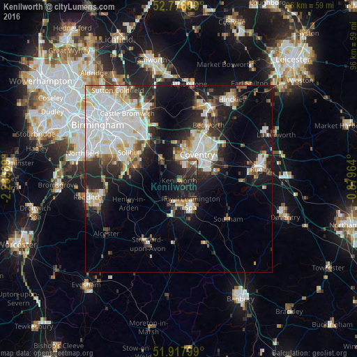
Analysis of Kenilworth night lights 2016
Square area 10x10 km:
 1.77%
1.77%90-99
2.53%80-89
0.63%70-79
2.65%60-69
2.02%50-59
2.78%40-49
3.79%30-39
6.57%20-29
17.05%10-19
32.07%0-9
28.16%Square area 50x50 km:
7.79%90-99
6.54%80-89
2.23%70-79
2.05%60-69
2.29%50-59
2.21%40-49
2.26%30-39
2.83%20-29
6.56%10-19
12.66%0-9
52.59%Clear (daylight) street map image can be seen on geolist.org.
Map coordinates:
52° 46' 37.2" North, 2° 17' 9.2" West
52° 20' 58.5" North, 1° 34' 57.9" West
51° 55' 4.8" North, 0° 52' 46.7" West
Some cities around Kenilworth sort by population:
• Coventry
7.9 km =4.9 mi,  37°
37°
• Solihull
15.3 km =9.5 mi,  298°
298°
• Royal Leamington Spa
8.3 km =5.2 mi,  149°
149°
• Warwick
7.4 km =4.6 mi,  180°
180°
• Knowle
10.9 km =6.8 mi,  290°
290°
• Brandon
13 km =8.1 mi,  72°
72°
• Dorridge
11.9 km =7.4 mi,  282°
282°
• Balsall Common
6.6 km =4.1 mi,  315°
315°
2645822 (p: 22,413)
Sources (retrieved 2019-11-25):
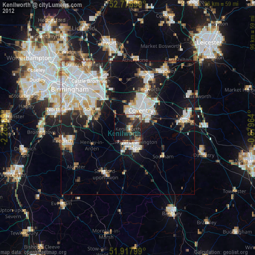
» Earth at Night: Flat Maps 2012, 2016