Kempston Hardwick night lights from space
Night Light of Kempston Hardwick (England) from space (United Kingdom) Src. Average luminocity for 10x10km area is 28.7235% and for 50x50km: 17.66%.
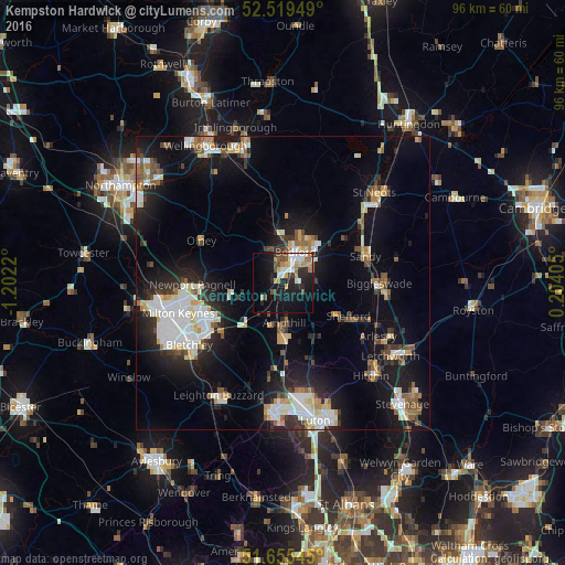
Analysis of Kempston Hardwick night lights 2016
Square area 10x10 km:
 4.1%
4.1%90-99
5.16%80-89
3.44%70-79
3.44%60-69
4.1%50-59
1.98%40-49
3.97%30-39
1.98%20-29
10.98%10-19
26.19%0-9
34.66%Square area 50x50 km:
3.36%90-99
3.28%80-89
1.73%70-79
1.54%60-69
1.87%50-59
2.02%40-49
1.68%30-39
2.12%20-29
4.64%10-19
13.91%0-9
63.86%Clear (daylight) street map image can be seen on geolist.org.
Map coordinates:
52° 31' 10.2" North, 1° 12' 7.9" West
52° 5' 22.4" North, 0° 29' 56.7" West
51° 39' 19.6" North, 0° 12' 14.6" East
Some cities around Kempston Hardwick sort by population:
• Bedford
5.5 km =3.4 mi,  24°
24°
• Ampthill
7 km =4.3 mi,  178°
178°
• Newport Pagnell
15.2 km =9.4 mi,  269°
269°
• Flitwick
9.6 km =6 mi, 178°
• Sandy
15 km =9.3 mi,  72°
72°
• Shefford
12.6 km =7.8 mi,  116°
116°
• Cranfield
7.9 km =4.9 mi,  252°
252°
• Woburn Sands
13.2 km =8.2 mi,  231°
231°
6947168 (p: 20,000)
Sources (retrieved 2019-11-25):
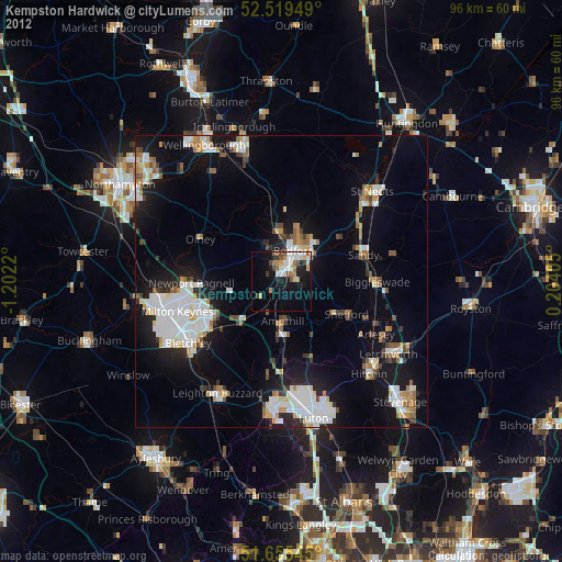
» Earth at Night: Flat Maps 2012, 2016