Isle of Lewis night lights from space
Night Light of Isle of Lewis (Scotland) from space (United Kingdom) Src. Average luminocity for 10x10km area is 2.3301% and for 50x50km: 0.1911%.
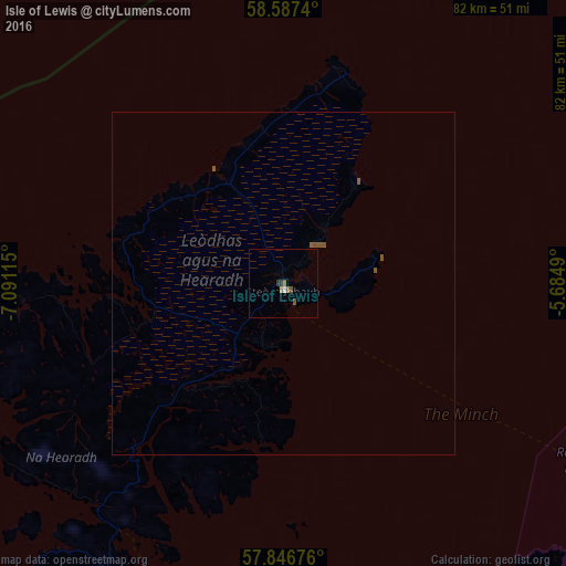
Analysis of Isle of Lewis night lights 2016
Square area 10x10 km:
 0.22%
0.22%90-99
0.22%80-89
0%70-79
0.43%60-69
0.54%50-59
0.32%40-49
0.87%30-39
0.87%20-29
0%10-19
0%0-9
96.54%Square area 50x50 km:
0.01%90-99
0.01%80-89
0%70-79
0.02%60-69
0.02%50-59
0.18%40-49
0.04%30-39
0.04%20-29
0%10-19
0%0-9
99.69%Clear (daylight) street map image can be seen on geolist.org.
Map coordinates:
58° 35' 14.6" North, 7° 5' 28.1" West
58° 13' 8.4" North, 6° 23' 16.9" West
57° 50' 48.3" North, 5° 41' 5.6" West
Some cities around Isle of Lewis sort by population:
• Inverness
152.2 km =94.6 mi,  122°
122°
• Nairn
164.3 km =102.1 mi, 115°
• Thurso
171.8 km =106.8 mi,  76°
76°
• Stornoway
1.1 km =0.7 mi,  175°
175°
• Fort William
173.6 km =107.9 mi,  153°
153°
• Alness
138.6 km =86.1 mi,  114°
114°
• Dingwall
135 km =83.9 mi, 120°
• Westhill
156.3 km =97.1 mi, 122°
8299620 (p: 18,500)
Sources (retrieved 2019-11-25):
» Earth at Night: Flat Maps 2012, 2016