Fort William night lights from space
Night Light of Fort William (Scotland) from space (United Kingdom) Src. Average luminocity for 10x10km area is 7.0417% and for 50x50km: 0.3096%.
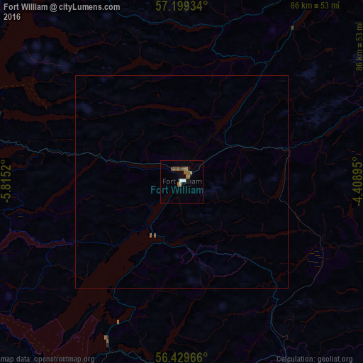
Analysis of Fort William night lights 2016
Square area 10x10 km:
 0.83%
0.83%90-99
0.6%80-89
0.48%70-79
0%60-69
1.55%50-59
3.45%40-49
1.19%30-39
0.95%20-29
0%10-19
0.48%0-9
90.48%Square area 50x50 km:
0.03%90-99
0.02%80-89
0.02%70-79
0%60-69
0.08%50-59
0.15%40-49
0.05%30-39
0.04%20-29
0%10-19
0.02%0-9
99.59%Clear (daylight) street map image can be seen on geolist.org.
Map coordinates:
57° 11' 57.6" North, 5° 48' 54.7" West
56° 48' 59.3" North, 5° 6' 43.5" West
56° 25' 46.8" North, 4° 24' 32.2" West
Some cities around Fort William sort by population:
• Inverness
91.1 km =56.6 mi,  36°
36°
• Helensburgh
93.2 km =57.9 mi,  165°
165°
• Gourock
96.8 km =60.1 mi, 169°
• Oban
49.7 km =30.9 mi,  206°
206°
• Crieff
92.2 km =57.3 mi,  122°
122°
• Alexandria
97 km =60.3 mi,  160°
160°
• Dingwall
95.9 km =59.6 mi,  25°
25°
• Westhill
93.3 km =58 mi, 38°
2649169 (p: 5,830)
Sources (retrieved 2019-11-25):
» Earth at Night: Flat Maps 2012, 2016