High Blantyre night lights from space
Night Light of High Blantyre (Scotland) from space (United Kingdom) Src. Average luminocity for 10x10km area is 66.2464% and for 50x50km: 29.005%.
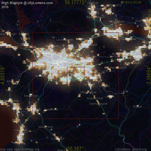
Analysis of High Blantyre night lights 2016
Square area 10x10 km:
 16.15%
90-99
17.94%80-89
8.61%70-79
8.01%60-69
8.01%50-59
7.3%40-49
9.21%30-39
5.26%20-29
15.07%10-19
4.43%0-9
0%Square area 50x50 km:
8.2%90-99
7.48%80-89
1.97%70-79
2.79%60-69
2.94%50-59
2.55%40-49
2.95%30-39
3.71%20-29
6.31%10-19
10.84%0-9
50.27%Clear (daylight) street map image can be seen on geolist.org.
Map coordinates:
56° 10' 39.9" North, 4° 48' 11.5" West
55° 47' 3.8" North, 4° 6' 0.3" West
55° 23' 13.2" North, 3° 23' 49" West
Some cities around High Blantyre sort by population:
• East Kilbride
5.3 km =3.3 mi,  244°
244°
• Hamilton
4.6 km =2.9 mi,  115°
115°
• Cambuslang
4.7 km =2.9 mi,  306°
306°
• Bellshill
6.3 km =3.9 mi,  55°
55°
• Blantyre
1.4 km =0.9 mi,  13°
13°
• Viewpark
5.5 km =3.4 mi,  29°
29°
• Bothwell
2.8 km =1.7 mi,  44°
44°
• Uddingston
4.1 km =2.5 mi, 14°
2646979 (p: 16,739)
Sources (retrieved 2019-11-25):
» Earth at Night: Flat Maps 2012, 2016