Hamilton night lights from space
Night Light of Hamilton (Scotland) from space (United Kingdom) Src. Average luminocity for 10x10km area is 55.7237% and for 50x50km: 26.7738%.
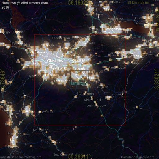
Analysis of Hamilton night lights 2016
Square area 10x10 km:
 13.64%
90-99
16.15%80-89
5.38%70-79
7.66%60-69
5.62%50-59
3.83%40-49
2.39%30-39
8.61%20-29
14.83%10-19
18.54%0-9
3.35%Square area 50x50 km:
7.68%90-99
6.85%80-89
1.74%70-79
2.58%60-69
2.7%50-59
2.29%40-49
2.82%30-39
3.38%20-29
6.04%10-19
9.92%0-9
54%Clear (daylight) street map image can be seen on geolist.org.
Map coordinates:
56° 9' 36.8" North, 4° 44' 11.3" West
55° 46' 0" North, 4° 1' 60" West
55° 22' 8.8" North, 3° 19' 48.8" West
Some cities around Hamilton sort by population:
• Motherwell
3.6 km =2.2 mi,  45°
45°
• Bellshill
5.7 km =3.5 mi,  10°
10°
• Blantyre
5.1 km =3.2 mi,  310°
310°
• High Blantyre
4.6 km =2.9 mi,  295°
295°
• Larkhall
5.6 km =3.5 mi,  131°
131°
• Bothwell
4.6 km =2.9 mi,  331°
331°
• Uddingston
6.7 km =4.2 mi, 331°
• New Stevenston
6.7 km =4.2 mi,  33°
33°
2647570 (p: 53,200)
Sources (retrieved 2019-11-25):
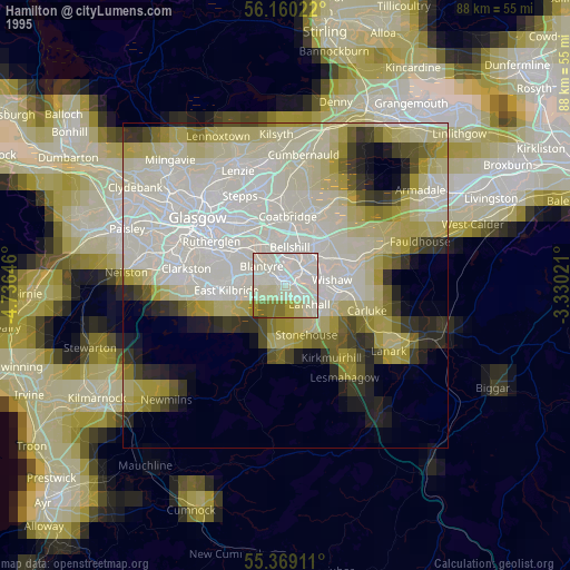
» NASA, Earths city lights 1995
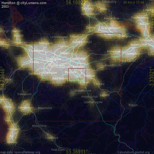
» NASA city lights 2003
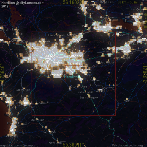
» Earth at Night: Flat Maps 2012, 2016