Hereford night lights from space
Night Light of Hereford (England) from space (United Kingdom) Src. Average luminocity for 10x10km area is 13.3598% and for 50x50km: 1.052%.
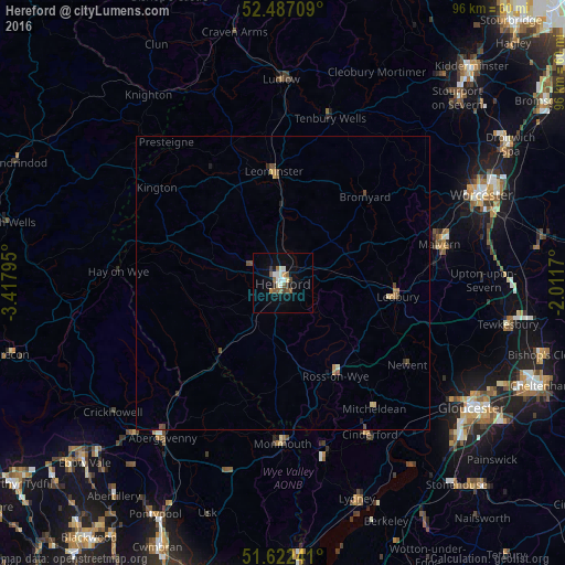
Analysis of Hereford night lights 2016
Square area 10x10 km:
 1.77%
1.77%90-99
3.16%80-89
0.63%70-79
0.51%60-69
1.52%50-59
3.54%40-49
1.39%30-39
1.39%20-29
0.25%10-19
7.2%0-9
78.66%Square area 50x50 km:
0.07%90-99
0.15%80-89
0.11%70-79
0.12%60-69
0.11%50-59
0.25%40-49
0.29%30-39
0.11%20-29
0.06%10-19
0.35%0-9
98.37%Clear (daylight) street map image can be seen on geolist.org.
Map coordinates:
52° 29' 13.5" North, 3° 25' 4.6" West
52° 3' 24.6" North, 2° 42' 53.4" West
51° 37' 20.7" North, 2° 0' 42.1" West
Some cities around Hereford sort by population:
• Great Malvern
27.3 km =17 mi,  77°
77°
• Abergavenny
33.4 km =20.8 mi,  218°
218°
• Cinderford
29.8 km =18.5 mi,  150°
150°
• Leominster
18.9 km =11.7 mi,  353°
353°
• Ross on Wye
18.6 km =11.6 mi, 146°
• Coleford
29.9 km =18.6 mi,  166°
166°
• Monmouth
27.2 km =16.9 mi,  179°
179°
• Ledbury
19.9 km =12.4 mi,  96°
96°
2647074 (p: 60,415)
Sources (retrieved 2019-11-25):
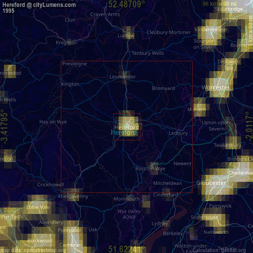
» NASA, Earths city lights 1995
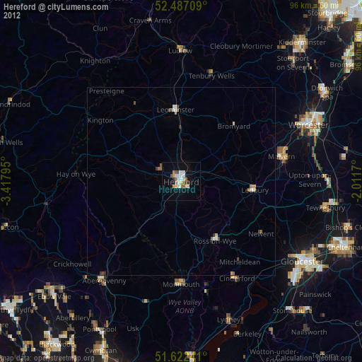
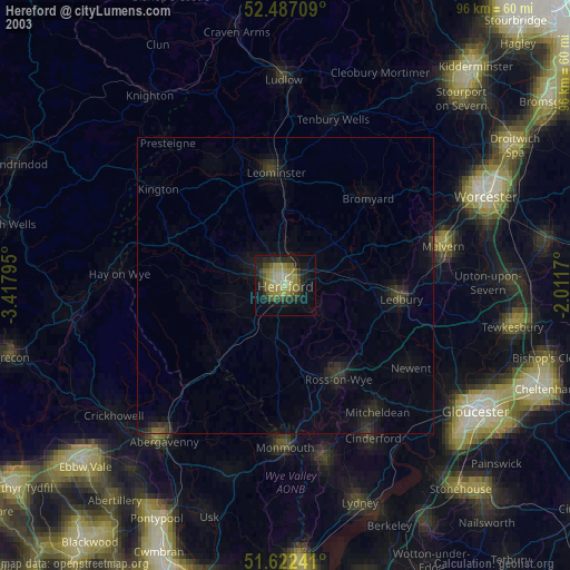
» NASA city lights 2003
» Earth at Night: Flat Maps 2012, 2016