Motherwell night lights from space
Night Light of Motherwell (Scotland) from space (United Kingdom) Src. Average luminocity for 10x10km area is 73.4031% and for 50x50km: 27.6474%.
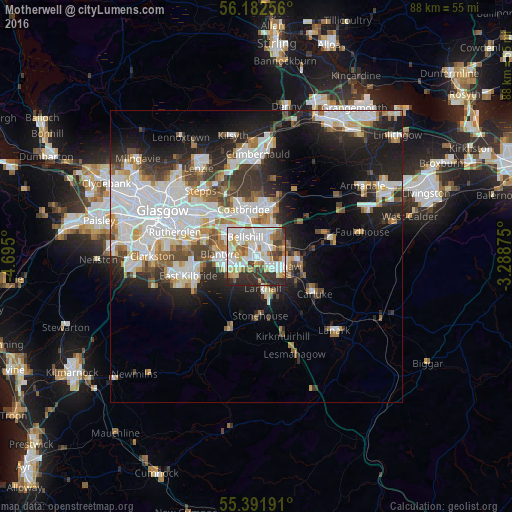
Analysis of Motherwell night lights 2016
Square area 10x10 km:
 22.97%
90-99
23.92%80-89
5.5%70-79
9.33%60-69
6.58%50-59
4.78%40-49
4.78%30-39
11%20-29
11.12%10-19
0%0-9
0%Square area 50x50 km:
7.86%90-99
7.04%80-89
1.78%70-79
2.68%60-69
2.73%50-59
2.38%40-49
2.75%30-39
3.54%20-29
6.54%10-19
11.15%0-9
51.55%Clear (daylight) street map image can be seen on geolist.org.
Map coordinates:
56° 10' 57.2" North, 4° 41' 42" West
55° 47' 21.3" North, 3° 59' 30.7" West
55° 23' 30.9" North, 3° 17' 19.5" West
Some cities around Motherwell sort by population:
• Hamilton
3.6 km =2.2 mi,  225°
225°
• Wishaw
5.3 km =3.3 mi,  118°
118°
• Bellshill
3.4 km =2.1 mi,  333°
333°
• Viewpark
5.9 km =3.7 mi,  316°
316°
• Newarthill
4.5 km =2.8 mi,  49°
49°
• Bothwell
5 km =3.1 mi,  287°
287°
• New Stevenston
3.3 km =2.1 mi,  20°
20°
• Holytown
3.6 km =2.2 mi, 19°
2642135 (p: 32,120)
Sources (retrieved 2019-11-25):
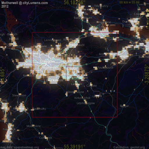
» Earth at Night: Flat Maps 2012, 2016