Bingley night lights from space
Night Light of Bingley (England) from space (United Kingdom) Src. Average luminocity for 10x10km area is 42.9497% and for 50x50km: 29.7942%.
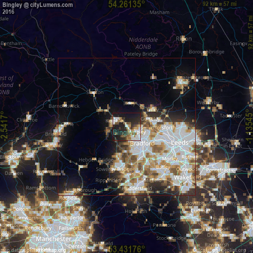
Analysis of Bingley night lights 2016
Square area 10x10 km:
 7.54%
7.54%90-99
8.73%80-89
3.04%70-79
3.7%60-69
4.76%50-59
7.54%40-49
7.67%30-39
4.23%20-29
17.72%10-19
34.92%0-9
0.13%Square area 50x50 km:
8.25%90-99
7.25%80-89
2.59%70-79
3.23%60-69
3.79%50-59
3.51%40-49
3.03%30-39
3%20-29
4.6%10-19
8.39%0-9
52.36%Clear (daylight) street map image can be seen on geolist.org.
Map coordinates:
54° 15' 40.9" North, 2° 32' 30.1" West
53° 50' 55" North, 1° 50' 18.9" West
53° 25' 54.3" North, 1° 8' 7.6" West
Some cities around Bingley sort by population:
• Bradford
8.3 km =5.2 mi,  136°
136°
• Keighley
5 km =3.1 mi,  295°
295°
• Shipley
5 km =3.1 mi,  109°
109°
• Baildon
3.3 km =2.1 mi,  92°
92°
• Ilkley
8.5 km =5.3 mi,  6°
6°
• Haworth
7.5 km =4.7 mi,  253°
253°
• Burley in Wharfedale
8.6 km =5.3 mi,  37°
37°
• Wilsden
3.4 km =2.1 mi,  204°
204°
2655642 (p: 20,327)
Sources (retrieved 2019-11-25):
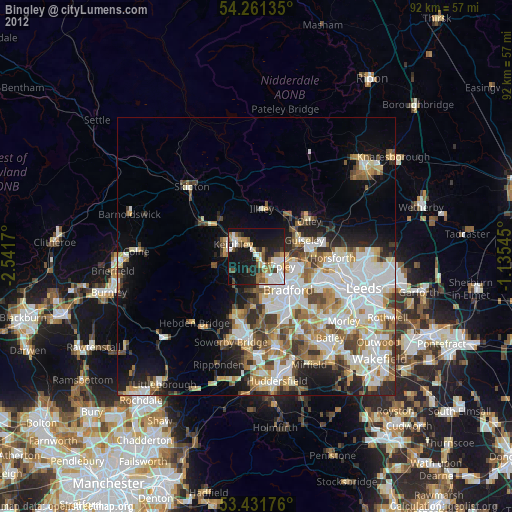
» Earth at Night: Flat Maps 2012, 2016