Gosport night lights from space
Night Light of Gosport (England) from space (United Kingdom) Src. Average luminocity for 10x10km area is 48.3165% and for 50x50km: 13.035%.
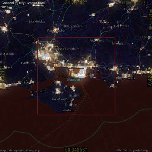
Analysis of Gosport night lights 2016
Square area 10x10 km:
 11.62%
90-99
12.04%80-89
3.36%70-79
4.48%60-69
3.92%50-59
4.76%40-49
6.16%30-39
10.92%20-29
13.03%10-19
24.37%0-9
5.32%Square area 50x50 km:
1.84%90-99
2.2%80-89
0.9%70-79
1.28%60-69
1.71%50-59
2.15%40-49
2.42%30-39
2.95%20-29
3.97%10-19
8.54%0-9
72.05%Clear (daylight) street map image can be seen on geolist.org.
Map coordinates:
51° 14' 14.7" North, 1° 49' 55.7" West
50° 47' 42.3" North, 1° 7' 44.5" West
50° 20' 54.7" North, 0° 25' 33.2" West
Some cities around Gosport sort by population:
• Portsmouth
2.7 km =1.7 mi,  80°
80°
• Fareham
7.2 km =4.5 mi,  330°
330°
• Ryde
7.6 km =4.7 mi,  197°
197°
• Southsea
3 km =1.9 mi,  96°
96°
• Hayling Island
11.3 km =7 mi, 96°
• South Hayling
10.7 km =6.6 mi,  94°
94°
• Cosham
7.3 km =4.5 mi,  38°
38°
• Lee-on-the-Solent
5.2 km =3.2 mi,  278°
278°
2648272 (p: 70,793)
Sources (retrieved 2019-11-25):
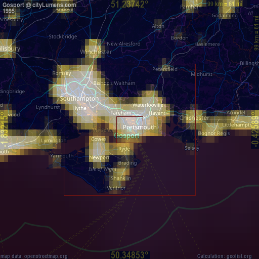
» NASA, Earths city lights 1995
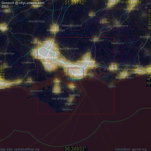
» NASA city lights 2003
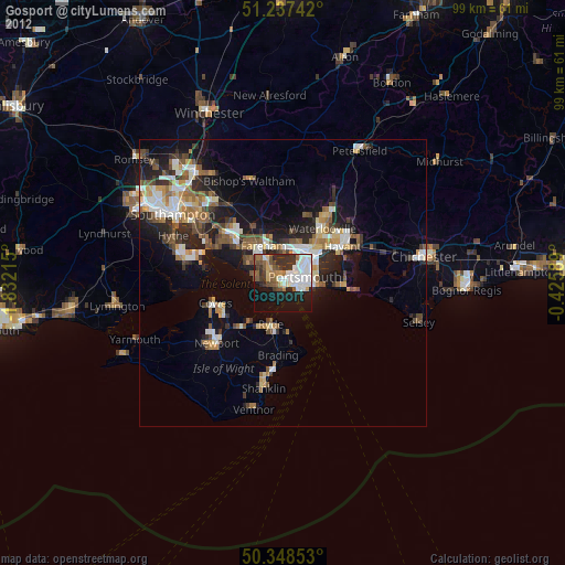
» Earth at Night: Flat Maps 2012, 2016