Cosham night lights from space
Night Light of Cosham (England) from space (United Kingdom) Src. Average luminocity for 10x10km area is 57.0084% and for 50x50km: 12.3735%.
Analysis of Cosham night lights 2016
Square area 10x10 km:
 14.43%
90-99
15.27%80-89
4.48%70-79
3.78%60-69
3.5%50-59
6.72%40-49
10.78%30-39
13.73%20-29
18.63%10-19
8.68%0-9
0%Square area 50x50 km:
1.55%90-99
2.02%80-89
0.8%70-79
1.26%60-69
1.58%50-59
2.12%40-49
2.45%30-39
2.93%20-29
3.52%10-19
8.35%0-9
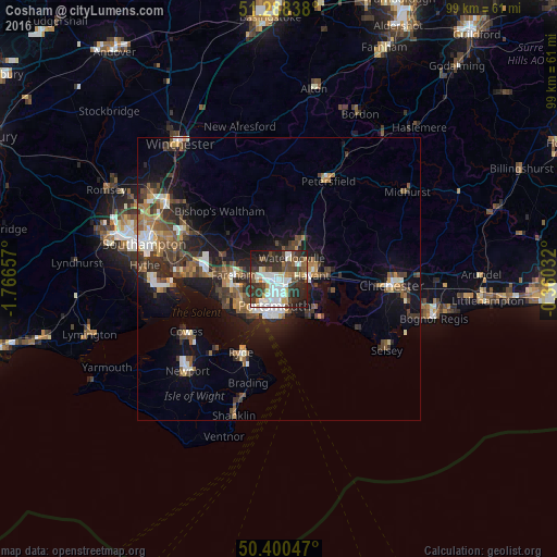
73.42%Clear (daylight) street map image can be seen on geolist.org.
Map coordinates:
51° 17' 18.2" North, 1° 45' 59.7" West
50° 50' 47.5" North, 1° 3' 48.4" West
50° 24' 1.7" North, 0° 21' 37.2" West
Some cities around Cosham sort by population:
• Portsmouth
5.6 km =3.5 mi,  200°
200°
• Gosport
7.3 km =4.5 mi,  218°
218°
• Waterlooville
4.4 km =2.7 mi,  31°
31°
• Fareham
8.2 km =5.1 mi,  273°
273°
• Havant
5.6 km =3.5 mi,  78°
78°
• Southsea
6.3 km =3.9 mi,  194°
194°
• Cowplain
6.2 km =3.9 mi, 30°
• Denmead
6.4 km =4 mi,  357°
357°
2652294 (p: 10,226)
Sources (retrieved 2019-11-25):
» Earth at Night: Flat Maps 2012, 2016