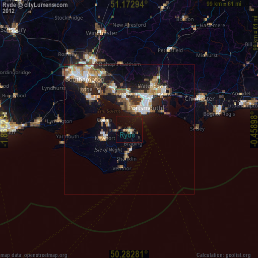
Ryde night lights from space
Night Light of Ryde (England) from space (United Kingdom) Src. Average luminocity for 10x10km area is 11.5227% and for 50x50km: 11.7016%.

Analysis of Ryde night lights 2016
Square area 10x10 km:
 0.53%
0.53%90-99
0.94%80-89
0.67%70-79
1.07%60-69
1.87%50-59
1.07%40-49
0.53%30-39
2.14%20-29
3.74%10-19
18.05%0-9
69.39%Square area 50x50 km:
1.75%90-99
2.04%80-89
0.76%70-79
1.08%60-69
1.53%50-59
1.93%40-49
2.15%30-39
2.69%20-29
3.52%10-19
7.41%0-9
75.14%Clear (daylight) street map image can be seen on geolist.org.
Map coordinates:
51° 10' 22.6" North, 1° 51' 54.8" West
50° 43' 48" North, 1° 9' 43.6" West
50° 16' 58.1" North, 0° 27' 32.3" West
Some cities around Ryde sort by population:
• Portsmouth
9.1 km =5.7 mi,  33°
33°
• Gosport
7.6 km =4.7 mi,  17°
17°
• Newport
9.6 km =6 mi,  250°
250°
• Cowes
10.2 km =6.3 mi,  291°
291°
• Sandown
8.7 km =5.4 mi,  179°
179°
• Southsea
8.7 km =5.4 mi,  37°
37°
• Lee-on-the-Solent
8.4 km =5.2 mi,  340°
340°
• East Cowes
9.4 km =5.8 mi, 289°
2638911 (p: 26,082)
Sources (retrieved 2019-11-25):
» Earth at Night: Flat Maps 2012, 2016