Southsea night lights from space
Night Light of Southsea (England) from space (United Kingdom) Src. Average luminocity for 10x10km area is 47.035% and for 50x50km: 12.5129%.
Analysis of Southsea night lights 2016
Square area 10x10 km:
 13.45%
90-99
12.46%80-89
3.36%70-79
2.94%60-69
1.68%50-59
1.68%40-49
6.44%30-39
8.68%20-29
18.63%10-19
25.49%0-9
5.18%Square area 50x50 km:
1.65%90-99
2.1%80-89
0.81%70-79
1.28%60-69
1.65%50-59
2.16%40-49
2.45%30-39
2.88%20-29
3.61%10-19
8.24%0-9
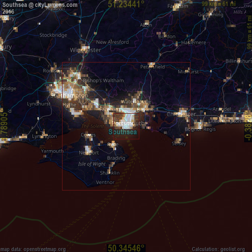
73.18%Clear (daylight) street map image can be seen on geolist.org.
Map coordinates:
51° 14' 3.9" North, 1° 47' 20.6" West
50° 47' 31.4" North, 1° 5' 9.3" West
50° 20' 43.7" North, 0° 22' 58.1" West
Some cities around Southsea sort by population:
• Portsmouth
0.9 km =0.6 mi,  334°
334°
• Gosport
3 km =1.9 mi,  276°
276°
• Fareham
9.3 km =5.8 mi,  315°
315°
• Havant
10.1 km =6.3 mi,  44°
44°
• Ryde
8.7 km =5.4 mi,  217°
217°
• Hayling Island
8.3 km =5.2 mi,  96°
96°
• Cosham
6.3 km =3.9 mi,  14°
14°
• Lee-on-the-Solent
8.2 km =5.1 mi, 277°
2637330 (p: 18,514)
Sources (retrieved 2019-11-25):
» Earth at Night: Flat Maps 2012, 2016