Oban night lights from space
Night Light of Oban (Scotland) from space (United Kingdom) Src. Average luminocity for 10x10km area is 2.1036% and for 50x50km: 0.1953%.
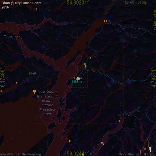
Analysis of Oban night lights 2016
Square area 10x10 km:
 0%
0%90-99
0%80-89
0%70-79
0%60-69
1.43%50-59
0.83%40-49
1.07%30-39
0%20-29
0%10-19
0%0-9
96.67%Square area 50x50 km:
0%90-99
0%80-89
0%70-79
0%60-69
0.19%50-59
0.05%40-49
0.04%30-39
0.02%20-29
0.02%10-19
0%0-9
99.68%Clear (daylight) street map image can be seen on geolist.org.
Map coordinates:
56° 48' 8.3" North, 6° 10' 29.9" West
56° 24' 55.3" North, 5° 28' 18.6" West
56° 1' 27.9" North, 4° 46' 7.4" West
Some cities around Oban sort by population:
• Greenock
68 km =42.3 mi,  139°
139°
• Port Glasgow
72.1 km =44.8 mi, 137°
• Helensburgh
64.8 km =40.3 mi,  134°
134°
• Gourock
64.7 km =40.2 mi, 141°
• Dunoon
61.7 km =38.3 mi,  146°
146°
• Isle of Bute
69.3 km =43.1 mi,  158°
158°
• Alexandria
72.1 km =44.8 mi, 130°
• Fort William
49.7 km =30.9 mi,  26°
26°
2641108 (p: 8,540)
Sources (retrieved 2019-11-25):
» Earth at Night: Flat Maps 2012, 2016