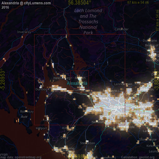
Alexandria night lights from space
Night Light of Alexandria (Scotland) from space (United Kingdom) Src. Average luminocity for 10x10km area is 17.3471% and for 50x50km: 16.0955%.
Analysis of Alexandria night lights 2016
Square area 10x10 km:
 2.01%
2.01%90-99
2.63%80-89
2.76%70-79
2.13%60-69
2.26%50-59
0.75%40-49
1.75%30-39
1.25%20-29
1.13%10-19
22.06%0-9
61.28%Square area 50x50 km:
4.99%90-99
4%80-89
1.07%70-79
1.36%60-69
1.61%50-59
1.21%40-49
1.42%30-39
1.75%20-29
2.76%10-19
6.99%0-9
72.84%Clear (daylight) street map image can be seen on geolist.org.
Map coordinates:
56° 23' 6.1" North, 5° 17' 22.3" West
55° 59' 37.6" North, 4° 35' 11" West
55° 35' 54.7" North, 3° 52' 59.8" West
Some cities around Alexandria sort by population:
• Greenock
12 km =7.5 mi,  245°
245°
• Vale of Leven
2.5 km =1.6 mi,  169°
169°
• Dumbarton
5.6 km =3.5 mi, 169°
• Erskine
13.4 km =8.3 mi,  140°
140°
• Port Glasgow
9.2 km =5.7 mi,  224°
224°
• Helensburgh
8.8 km =5.5 mi,  278°
278°
• Bonhill
2.1 km =1.3 mi, 138°
• Duntocher
13.1 km =8.1 mi,  125°
125°
2657513 (p: 6,940)
Sources (retrieved 2019-11-25):
» Earth at Night: Flat Maps 2012, 2016