Feltham night lights from space
Night Light of Feltham (England) from space (United Kingdom) Src. Average luminocity for 10x10km area is 86.3837% and for 50x50km: 59.3793%.
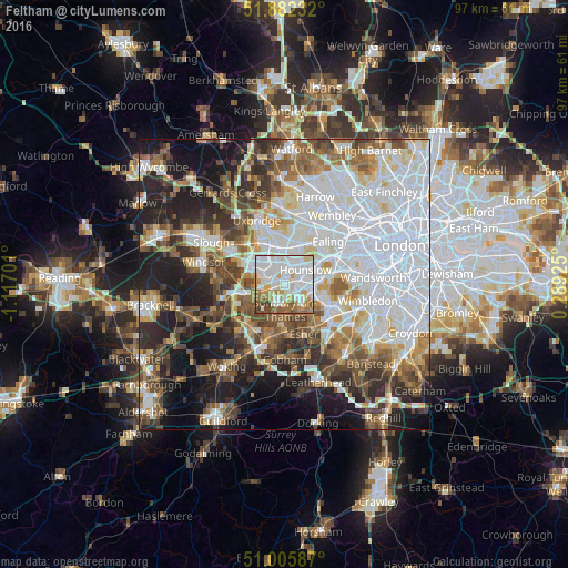
Analysis of Feltham night lights 2016
Square area 10x10 km:
 33.02%
90-99
29.41%80-89
8.16%70-79
7.49%60-69
9.22%50-59
7.35%40-49
4.68%30-39
0.67%20-29
0%10-19
0%0-9
0%Square area 50x50 km:
20.79%90-99
13.18%80-89
4.77%70-79
5.14%60-69
6.35%50-59
7.3%40-49
7.17%30-39
6.41%20-29
9.07%10-19
13.33%0-9
6.5%Clear (daylight) street map image can be seen on geolist.org.
Map coordinates:
51° 52' 56.4" North, 1° 7' 1.2" West
51° 26' 46.3" North, 0° 24' 50" West
51° 0' 21.1" North, 0° 17' 21.3" East
Some cities around Feltham sort by population:
• Hounslow
4.4 km =2.7 mi,  56°
56°
• Sunbury-on-Thames
4.7 km =2.9 mi,  183°
183°
• Ashford
3.4 km =2.1 mi,  242°
242°
• Isleworth
5.9 km =3.7 mi, 56°
• West Molesey
5.7 km =3.5 mi,  155°
155°
• Hampton
4.9 km =3 mi,  138°
138°
• Shepperton
6.1 km =3.8 mi,  203°
203°
• Teddington
6.4 km =4 mi,  114°
114°
2649571 (p: 24,325)
Sources (retrieved 2019-11-25):
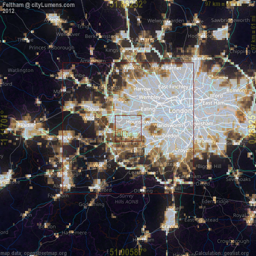
» Earth at Night: Flat Maps 2012, 2016