Sunbury-on-Thames night lights from space
Night Light of Sunbury-on-Thames (England) from space (United Kingdom) Src. Average luminocity for 10x10km area is 64.2381% and for 50x50km: 54.7058%.
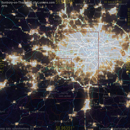
Analysis of Sunbury-on-Thames night lights 2016
Square area 10x10 km:
 7.98%
7.98%90-99
9.94%80-89
7.84%70-79
8.96%60-69
14.15%50-59
21.71%40-49
22.13%30-39
6.02%20-29
1.26%10-19
0%0-9
0%Square area 50x50 km:
19.58%90-99
12.05%80-89
4.15%70-79
4.61%60-69
5.41%50-59
6.11%40-49
6.79%30-39
6.1%20-29
8.98%10-19
13.24%0-9
12.99%Clear (daylight) street map image can be seen on geolist.org.
Map coordinates:
51° 50' 26.7" North, 1° 7' 16.7" West
51° 24' 15.3" North, 0° 25' 5.4" West
50° 57' 48.6" North, 0° 17' 5.8" East
Some cities around Sunbury-on-Thames sort by population:
• Ashford
4.1 km =2.5 mi,  318°
318°
• Feltham
4.7 km =2.9 mi,  3°
3°
• Walton-on-Thames
2 km =1.2 mi,  169°
169°
• Weybridge
4.6 km =2.9 mi,  218°
218°
• East Molesey
4.8 km =3 mi,  97°
97°
• West Molesey
2.7 km =1.7 mi, 100°
• Hampton
3.7 km =2.3 mi,  74°
74°
• Shepperton
2.3 km =1.4 mi,  245°
245°
2636534 (p: 27,784)
Sources (retrieved 2019-11-25):
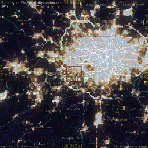
» Earth at Night: Flat Maps 2012, 2016