Evesham night lights from space
Night Light of Evesham (England) from space (United Kingdom) Src. Average luminocity for 10x10km area is 10.5516% and for 50x50km: 8.0763%.
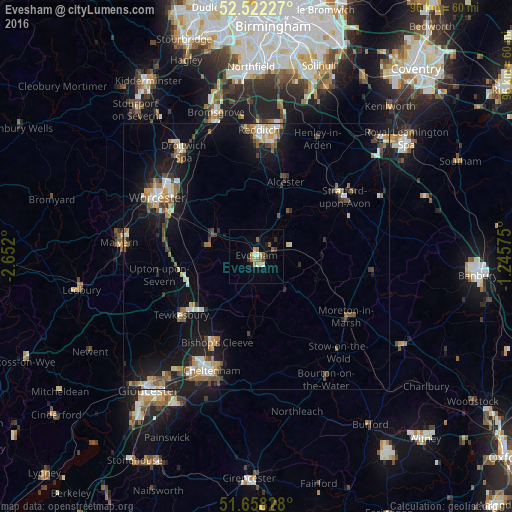
Analysis of Evesham night lights 2016
Square area 10x10 km:
 1.06%
1.06%90-99
1.59%80-89
0%70-79
2.12%60-69
2.25%50-59
2.51%40-49
0.53%30-39
1.19%20-29
0.66%10-19
1.85%0-9
86.24%Square area 50x50 km:
0.79%90-99
1.32%80-89
0.59%70-79
1.02%60-69
1.18%50-59
1.16%40-49
1.23%30-39
0.8%20-29
1.86%10-19
7.17%0-9
82.87%Clear (daylight) street map image can be seen on geolist.org.
Map coordinates:
52° 31' 20.2" North, 2° 39' 7.2" West
52° 5' 32.5" North, 1° 56' 55.9" West
51° 39' 29.8" North, 1° 14' 44.7" West
Some cities around Evesham sort by population:
• Worcester
21.4 km =13.3 mi,  300°
300°
• Stratford-upon-Avon
19.8 km =12.3 mi,  56°
56°
• Tewkesbury
18.2 km =11.3 mi,  232°
232°
• Bishops Cleeve
17.9 km =11.1 mi,  205°
205°
• Pershore
8.9 km =5.5 mi,  283°
283°
• Alcester
14.9 km =9.3 mi,  22°
22°
• Studley
20.2 km =12.6 mi,  11°
11°
• Bidford-on-Avon
10.5 km =6.5 mi,  35°
35°
2649833 (p: 23,576)
Sources (retrieved 2019-11-25):
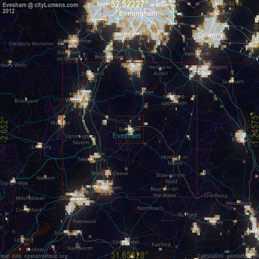
» Earth at Night: Flat Maps 2012, 2016