Ellesmere Port night lights from space
Night Light of Ellesmere Port (England) from space (United Kingdom) Src. Average luminocity for 10x10km area is 60.5795% and for 50x50km: 34.033%.
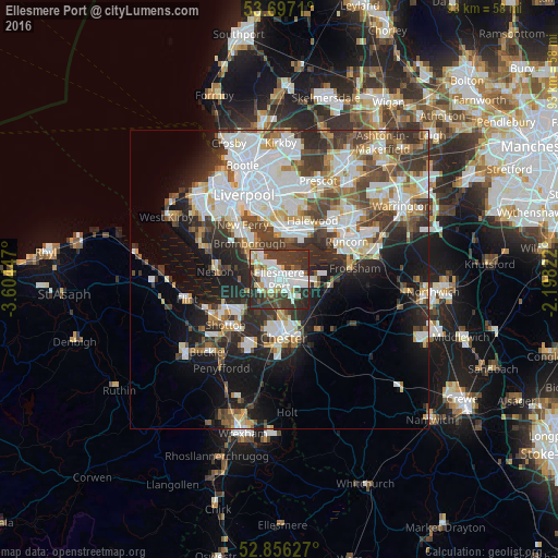
Analysis of Ellesmere Port night lights 2016
Square area 10x10 km:
 17.68%
90-99
16.67%80-89
3.91%70-79
3.91%60-69
3.03%50-59
2.27%40-49
6.57%30-39
26.52%20-29
19.07%10-19
0.38%0-9
0%Square area 50x50 km:
9.21%90-99
7.83%80-89
3.09%70-79
2.79%60-69
3.33%50-59
3.46%40-49
4.84%30-39
6.2%20-29
7.82%10-19
11.01%0-9
40.41%Clear (daylight) street map image can be seen on geolist.org.
Map coordinates:
53° 41' 49.6" North, 3° 36' 16.1" West
53° 16' 43.5" North, 2° 54' 4.8" West
52° 51' 22.6" North, 2° 11' 53.6" West
Some cities around Ellesmere Port sort by population:
• Chester
9.8 km =6.1 mi,  176°
176°
• Bebington
11 km =6.8 mi,  315°
315°
• Neston
9.9 km =6.2 mi,  272°
272°
• Bromborough
9.3 km =5.8 mi,  326°
326°
• Blacon
8 km =5 mi,  191°
191°
• Frodsham
11.7 km =7.3 mi,  81°
81°
• New Ferry
11 km =6.8 mi, 325°
• Helsby
8.8 km =5.5 mi,  93°
93°
2650096 (p: 67,768)
Sources (retrieved 2019-11-25):
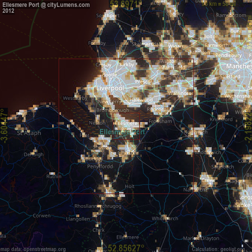
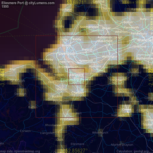
» NASA, Earths city lights 1995
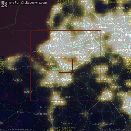
» NASA city lights 2003
» Earth at Night: Flat Maps 2012, 2016