Bewdley night lights from space
Night Light of Bewdley (England) from space (United Kingdom) Src. Average luminocity for 10x10km area is 15.202% and for 50x50km: 17.4717%.
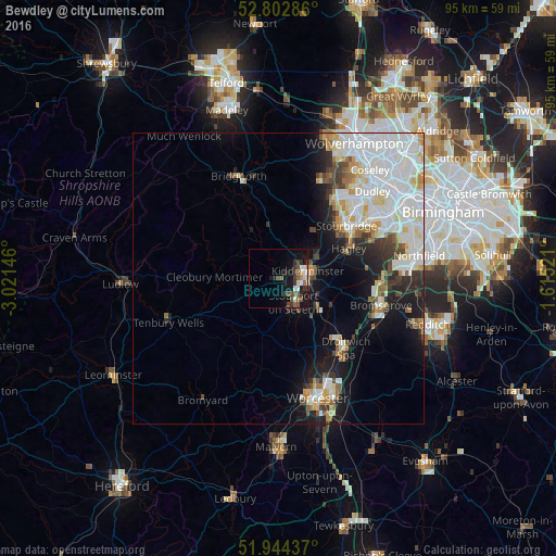
Analysis of Bewdley night lights 2016
Square area 10x10 km:
 2.02%
2.02%90-99
2.02%80-89
1.14%70-79
1.01%60-69
1.01%50-59
4.29%40-49
3.79%30-39
3.66%20-29
3.28%10-19
12.88%0-9
64.9%Square area 50x50 km:
5.62%90-99
4.67%80-89
1.54%70-79
1.34%60-69
1.4%50-59
1.2%40-49
1.61%30-39
1.59%20-29
2.48%10-19
6.72%0-9
71.83%Clear (daylight) street map image can be seen on geolist.org.
Map coordinates:
52° 48' 10.3" North, 3° 1' 17.3" West
52° 22' 32.5" North, 2° 19' 6" West
51° 56' 39.7" North, 1° 36' 54.8" West
Some cities around Bewdley sort by population:
• Kidderminster
4.8 km =3 mi,  73°
73°
• Stourbridge
14.9 km =9.3 mi,  53°
53°
• Bromsgrove
18.1 km =11.2 mi,  104°
104°
• Brierley Hill
17.8 km =11.1 mi, 48°
• Droitwich
16.7 km =10.4 mi,  136°
136°
• Stourport-on-Severn
4.8 km =3 mi,  147°
147°
• Kingswinford
16.9 km =10.5 mi,  36°
36°
• Hagley
14.1 km =8.8 mi, 66°
2655781 (p: 8,571)
Sources (retrieved 2019-11-25):
» Earth at Night: Flat Maps 2012, 2016