Cumnock night lights from space
Night Light of Cumnock (Scotland) from space (United Kingdom) Src. Average luminocity for 10x10km area is 6.3596% and for 50x50km: 4.5441%.
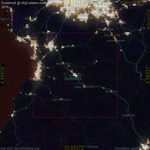
Analysis of Cumnock night lights 2016
Square area 10x10 km:
 0.5%
0.5%90-99
0.5%80-89
0.25%70-79
1.63%60-69
1.75%50-59
0.88%40-49
0.5%30-39
1%20-29
1.38%10-19
1%0-9
90.6%Square area 50x50 km:
0.53%90-99
0.64%80-89
0.36%70-79
0.66%60-69
0.77%50-59
0.69%40-49
0.52%30-39
0.52%20-29
0.75%10-19
4.88%0-9
89.67%Clear (daylight) street map image can be seen on geolist.org.
Map coordinates:
55° 51' 4.1" North, 4° 58' 10.4" West
55° 27' 16" North, 4° 15' 59.2" West
55° 3' 13.4" North, 3° 33' 47.9" West
Some cities around Cumnock sort by population:
• Ayr
23.2 km =14.4 mi,  272°
272°
• Kilmarnock
22.7 km =14.1 mi,  320°
320°
• Irvine
30.6 km =19 mi,  306°
306°
• Prestwick
22.3 km =13.9 mi,  278°
278°
• Troon
26.9 km =16.7 mi,  291°
291°
• Strathaven
27.8 km =17.3 mi,  26°
26°
• Stewarton
29.5 km =18.3 mi,  328°
328°
• Stonehouse
31.9 km =19.8 mi, 33°
2651706 (p: 8,920)
Sources (retrieved 2019-11-25):
» Earth at Night: Flat Maps 2012, 2016