Ayr night lights from space
Night Light of Ayr (Scotland) from space (United Kingdom) Src. Average luminocity for 10x10km area is 31.2682% and for 50x50km: 5.7938%.
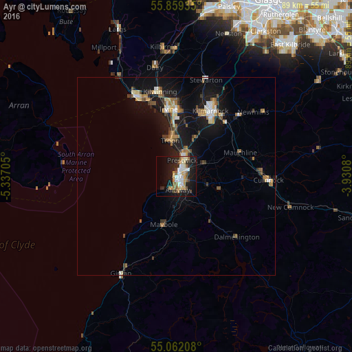
Analysis of Ayr night lights 2016
Square area 10x10 km:
 5.39%
5.39%90-99
7.02%80-89
2.88%70-79
5.14%60-69
2.88%50-59
4.01%40-49
1.38%30-39
2.76%20-29
8.9%10-19
29.45%0-9
30.2%Square area 50x50 km:
0.65%90-99
0.81%80-89
0.58%70-79
0.8%60-69
0.79%50-59
0.8%40-49
0.65%30-39
0.66%20-29
1.01%10-19
6.8%0-9
86.44%Clear (daylight) street map image can be seen on geolist.org.
Map coordinates:
55° 51' 33.7" North, 5° 20' 13.4" West
55° 27' 45.8" North, 4° 38' 2.1" West
55° 3' 43.5" North, 3° 55' 50.9" West
Some cities around Ayr sort by population:
• Kilmarnock
18.7 km =11.6 mi,  27°
27°
• Irvine
17.5 km =10.9 mi,  355°
355°
• Kilwinning
21.7 km =13.5 mi,  347°
347°
• Prestwick
2.5 km =1.6 mi, 25°
• Troon
9.2 km =5.7 mi, 348°
• Saltcoats
21.5 km =13.4 mi,  333°
333°
• Stevenston
21.1 km =13.1 mi,  339°
339°
• Cumnock
23.2 km =14.4 mi,  92°
92°
2656708 (p: 47,190)
Sources (retrieved 2019-11-25):
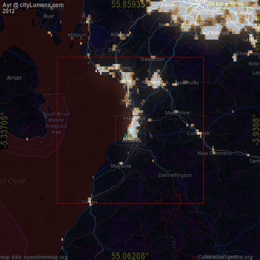
» Earth at Night: Flat Maps 2012, 2016