Cullompton night lights from space
Night Light of Cullompton (England) from space (United Kingdom) Src. Average luminocity for 10x10km area is 4.2773% and for 50x50km: 4.1528%.
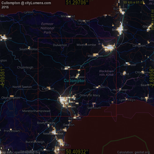
Analysis of Cullompton night lights 2016
Square area 10x10 km:
 0%
0%90-99
0.56%80-89
0.56%70-79
0.56%60-69
1.82%50-59
1.54%40-49
0%30-39
0.56%20-29
0%10-19
0%0-9
94.4%Square area 50x50 km:
0.41%90-99
0.74%80-89
0.55%70-79
0.37%60-69
0.53%50-59
0.6%40-49
0.46%30-39
0.49%20-29
0.64%10-19
4.05%0-9
91.15%Clear (daylight) street map image can be seen on geolist.org.
Map coordinates:
51° 17' 49.4" North, 4° 5' 44.9" West
50° 51' 19.1" North, 3° 23' 33.6" West
50° 24' 33.6" North, 2° 41' 22.4" West
Some cities around Cullompton sort by population:
• Exeter
17.4 km =10.8 mi,  212°
212°
• Exmouth
26.5 km =16.5 mi,  181°
181°
• Heavitree
16.7 km =10.4 mi, 205°
• Tiverton
8.7 km =5.4 mi,  306°
306°
• Sidmouth
21.2 km =13.2 mi,  149°
149°
• Honiton
15.6 km =9.7 mi,  113°
113°
• Crediton
19.8 km =12.3 mi,  246°
246°
• Budleigh Salterton
25.6 km =15.9 mi,  168°
168°
2651739 (p: 7,800)
Sources (retrieved 2019-11-25):
» Earth at Night: Flat Maps 2012, 2016