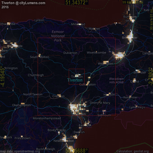
Tiverton night lights from space
Night Light of Tiverton (England) from space (United Kingdom) Src. Average luminocity for 10x10km area is 4.5084% and for 50x50km: 2.9664%.
Analysis of Tiverton night lights 2016
Square area 10x10 km:
 0.28%
0.28%90-99
1.4%80-89
0%70-79
0.56%60-69
0.84%50-59
0.84%40-49
0.42%30-39
1.26%20-29
0%10-19
0.42%0-9
93.98%Square area 50x50 km:
0.24%90-99
0.53%80-89
0.41%70-79
0.3%60-69
0.35%50-59
0.57%40-49
0.36%30-39
0.39%20-29
0.56%10-19
2.44%0-9
93.86%Clear (daylight) street map image can be seen on geolist.org.
Map coordinates:
51° 20' 37.4" North, 4° 11' 43.6" West
50° 54' 8.7" North, 3° 29' 32.4" West
50° 27' 24.8" North, 2° 47' 21.1" West
Some cities around Tiverton sort by population:
• Exeter
20 km =12.4 mi,  187°
187°
• Taunton
30 km =18.6 mi,  65°
65°
• Heavitree
20.2 km =12.6 mi,  180°
180°
• Sidmouth
29.5 km =18.3 mi,  142°
142°
• Honiton
24.2 km =15 mi,  118°
118°
• Crediton
17.3 km =10.7 mi,  219°
219°
• Cullompton
8.7 km =5.4 mi,  126°
126°
• South Molton
27.1 km =16.8 mi,  298°
298°
2635762 (p: 19,544)
Sources (retrieved 2019-11-25):
» Earth at Night: Flat Maps 2012, 2016