Denmead night lights from space
Night Light of Denmead (England) from space (United Kingdom) Src. Average luminocity for 10x10km area is 20.0882% and for 50x50km: 12.4172%.
Analysis of Denmead night lights 2016
Square area 10x10 km:
 0.84%
0.84%90-99
2.24%80-89
0.7%70-79
0.84%60-69
1.54%50-59
4.76%40-49
8.26%30-39
5.32%20-29
11.06%10-19
19.75%0-9
44.68%Square area 50x50 km:
1.55%90-99
2.03%80-89
0.79%70-79
1.24%60-69
1.57%50-59
2.14%40-49
2.43%30-39
3.04%20-29
3.54%10-19
8.35%0-9
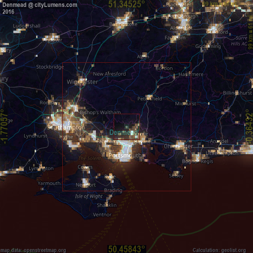
73.31%Clear (daylight) street map image can be seen on geolist.org.
Map coordinates:
51° 20' 42.9" North, 1° 46' 14.1" West
50° 54' 14.2" North, 1° 4' 2.8" West
50° 27' 30.3" North, 0° 21' 51.6" West
Some cities around Denmead sort by population:
• Portsmouth
11.8 km =7.3 mi,  188°
188°
• Waterlooville
3.7 km =2.3 mi,  134°
134°
• Fareham
9.8 km =6.1 mi,  233°
233°
• Havant
7.8 km =4.8 mi, 132°
• Emsworth
11.1 km =6.9 mi,  124°
124°
• Cosham
6.4 km =4 mi,  177°
177°
• Cowplain
3.6 km =2.2 mi,  107°
107°
• Bishops Waltham
11.8 km =7.3 mi,  299°
299°
7670890 (p: 6,107)
Sources (retrieved 2019-11-25):
» Earth at Night: Flat Maps 2012, 2016