Waterlooville night lights from space
Night Light of Waterlooville (England) from space (United Kingdom) Src. Average luminocity for 10x10km area is 41.4496% and for 50x50km: 11.6546%.
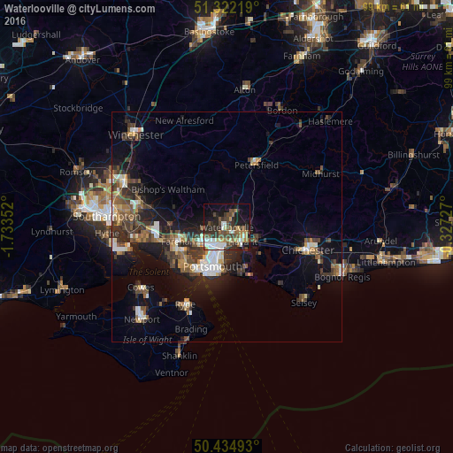
Analysis of Waterlooville night lights 2016
Square area 10x10 km:
 6.02%
6.02%90-99
8.54%80-89
2.52%70-79
4.2%60-69
5.74%50-59
7.14%40-49
10.64%30-39
7.56%20-29
12.75%10-19
21.57%0-9
13.31%Square area 50x50 km:
1.39%90-99
1.86%80-89
0.77%70-79
1.08%60-69
1.41%50-59
2.05%40-49
2.38%30-39
2.78%20-29
3.37%10-19
8.22%0-9
74.7%Clear (daylight) street map image can be seen on geolist.org.
Map coordinates:
51° 19' 19.9" North, 1° 44' 0.7" West
50° 52' 50.4" North, 1° 1' 49.4" West
50° 26' 5.7" North, 0° 19' 38.2" West
Some cities around Waterlooville sort by population:
• Portsmouth
10 km =6.2 mi,  205°
205°
• Fareham
10.9 km =6.8 mi,  252°
252°
• Havant
4.1 km =2.5 mi,  130°
130°
• Emsworth
7.5 km =4.7 mi,  119°
119°
• Southsea
10.6 km =6.6 mi,  201°
201°
• Cosham
4.4 km =2.7 mi, 211°
• Cowplain
1.7 km =1.1 mi,  29°
29°
• Denmead
3.7 km =2.3 mi,  314°
314°
2634686 (p: 64,350)
Sources (retrieved 2019-11-25):
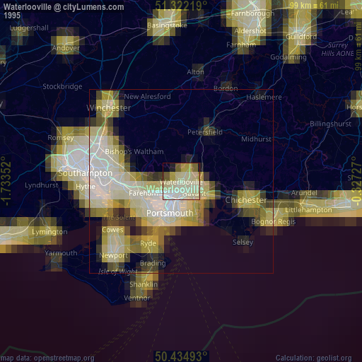
» NASA, Earths city lights 1995
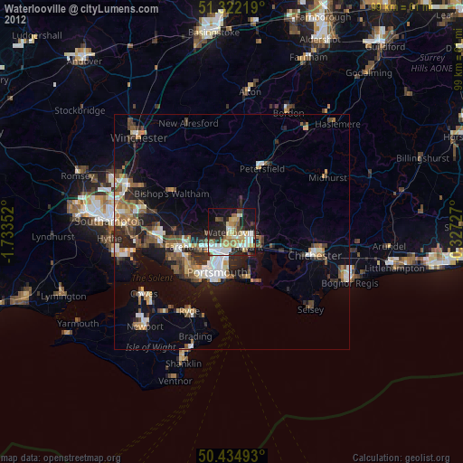
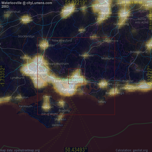
» NASA city lights 2003
» Earth at Night: Flat Maps 2012, 2016