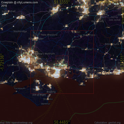
Cowplain night lights from space
Night Light of Cowplain (England) from space (United Kingdom) Src. Average luminocity for 10x10km area is 27.8768% and for 50x50km: 11.3511%.
Analysis of Cowplain night lights 2016
Square area 10x10 km:
 1.96%
1.96%90-99
3.08%80-89
1.82%70-79
3.08%60-69
4.34%50-59
6.3%40-49
8.82%30-39
6.86%20-29
9.66%10-19
19.19%0-9
34.87%Square area 50x50 km:
1.3%90-99
1.77%80-89
0.73%70-79
1.04%60-69
1.33%50-59
2.08%40-49
2.35%30-39
2.74%20-29
3.34%10-19
8.16%0-9
75.15%Clear (daylight) street map image can be seen on geolist.org.
Map coordinates:
51° 20' 7.8" North, 1° 43' 16.9" West
50° 53' 38.8" North, 1° 1' 5.7" West
50° 26' 54.6" North, 0° 18' 54.4" West
Some cities around Cowplain sort by population:
• Portsmouth
11.8 km =7.3 mi,  205°
205°
• Waterlooville
1.7 km =1.1 mi, 209°
• Fareham
12.2 km =7.6 mi,  247°
247°
• Havant
4.7 km =2.9 mi,  151°
151°
• Emsworth
7.7 km =4.8 mi,  132°
132°
• South Hayling
12.2 km =7.6 mi,  166°
166°
• Cosham
6.2 km =3.9 mi, 210°
• Denmead
3.6 km =2.2 mi,  287°
287°
6940296 (p: 8,775)
Sources (retrieved 2019-11-25):
» Earth at Night: Flat Maps 2012, 2016