Chesham night lights from space
Night Light of Chesham (England) from space (United Kingdom) Src. Average luminocity for 10x10km area is 14.0367% and for 50x50km: 32.556%.
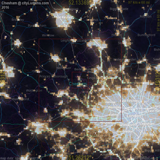
Analysis of Chesham night lights 2016
Square area 10x10 km:
 0%
0%90-99
1.09%80-89
1.63%70-79
1.36%60-69
1.9%50-59
3.13%40-49
3.67%30-39
3.54%20-29
1.36%10-19
7.07%0-9
75.24%Square area 50x50 km:
7.5%90-99
7.55%80-89
3.25%70-79
2.84%60-69
3.78%50-59
4.07%40-49
4.11%30-39
5.03%20-29
7.67%10-19
12.53%0-9
41.68%Clear (daylight) street map image can be seen on geolist.org.
Map coordinates:
52° 8' 1.3" North, 1° 18' 11.2" West
51° 42' 0" North, 0° 36' 0" West
51° 15' 43.6" North, 0° 6' 11.2" East
Some cities around Chesham sort by population:
• Berkhamsted
7.1 km =4.4 mi,  19°
19°
• Amersham
3.9 km =2.4 mi,  197°
197°
• Amersham on the Hill
2.9 km =1.8 mi,  190°
190°
• Beaconsfield
10.3 km =6.4 mi, 198°
• Chorleywood
7.8 km =4.8 mi,  130°
130°
• Chalfont St Giles
7.9 km =4.9 mi,  164°
164°
• Great Missenden
7.5 km =4.7 mi,  273°
273°
• Bovingdon
5.1 km =3.2 mi,  59°
59°
2653235 (p: 20,649)
Sources (retrieved 2019-11-25):
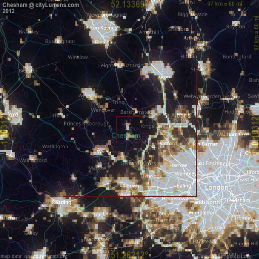
» Earth at Night: Flat Maps 2012, 2016