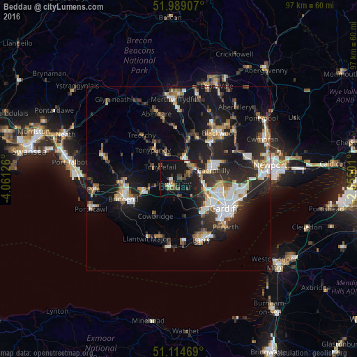
Beddau night lights from space
Night Light of Beddau (Wales) from space (United Kingdom) Src. Average luminocity for 10x10km area is 23.246% and for 50x50km: 18.062%.
Analysis of Beddau night lights 2016
Square area 10x10 km:
 1.34%
1.34%90-99
2.41%80-89
1.2%70-79
3.48%60-69
3.21%50-59
2.41%40-49
7.22%30-39
4.14%20-29
3.07%10-19
37.43%0-9
34.09%Square area 50x50 km:
2.73%90-99
3.36%80-89
1.44%70-79
1.93%60-69
1.98%50-59
1.97%40-49
2.2%30-39
2.96%20-29
6.54%10-19
15.18%0-9
59.68%Clear (daylight) street map image can be seen on geolist.org.
Map coordinates:
51° 59' 20.7" North, 4° 3' 40.5" West
51° 33' 14.3" North, 3° 21' 29.3" West
51° 6' 52.9" North, 2° 39' 18" West
Some cities around Beddau sort by population:
• Caerphilly
10 km =6.2 mi,  76°
76°
• Pontypridd
5.5 km =3.4 mi,  11°
11°
• Llantrisant
1.9 km =1.2 mi,  215°
215°
• Tonyrefail
6 km =3.7 mi,  303°
303°
• Brynna
7.5 km =4.7 mi,  256°
256°
• Abertridwr
7.8 km =4.8 mi,  53°
53°
• Pontyclun
4.3 km =2.7 mi,  212°
212°
• Llanharan
5.9 km =3.7 mi,  252°
252°
3345316 (p: 8,134)
Sources (retrieved 2019-11-25):
» Earth at Night: Flat Maps 2012, 2016