Buxton night lights from space
Night Light of Buxton (England) from space (United Kingdom) Src. Average luminocity for 10x10km area is 7.5164% and for 50x50km: 14.6854%.
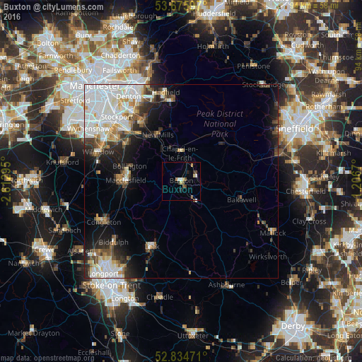
Analysis of Buxton night lights 2016
Square area 10x10 km:
 1.26%
1.26%90-99
0.51%80-89
0.76%70-79
1.52%60-69
0.25%50-59
1.64%40-49
1.64%30-39
0.51%20-29
1.52%10-19
0.51%0-9
89.9%Square area 50x50 km:
4.49%90-99
3.24%80-89
1.41%70-79
1.19%60-69
1.14%50-59
1.44%40-49
1.67%30-39
1.67%20-29
2.88%10-19
5.35%0-9
75.52%Clear (daylight) street map image can be seen on geolist.org.
Map coordinates:
53° 40' 33.5" North, 2° 36' 46.6" West
53° 15' 26.7" North, 1° 54' 35.4" West
52° 50' 5" North, 1° 12' 24.1" West
Some cities around Buxton sort by population:
• High Peak
13 km =8.1 mi,  19°
19°
• Macclesfield
14.4 km =8.9 mi,  271°
271°
• New Mills
13.5 km =8.4 mi,  333°
333°
• Poynton
17.2 km =10.7 mi,  306°
306°
• Newhaven
16.7 km =10.4 mi,  141°
141°
• Bollington
13.9 km =8.6 mi,  287°
287°
• Chapel en le Frith
7.4 km =4.6 mi,  358°
358°
• Whaley Bridge
9.4 km =5.8 mi, 329°
2654141 (p: 21,300)
Sources (retrieved 2019-11-25):
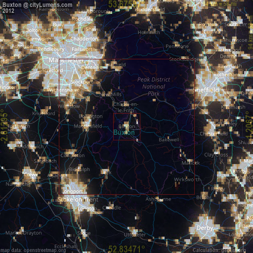
» Earth at Night: Flat Maps 2012, 2016